Latitude: 53.2248 / 53°13'29"N
Longitude: -1.0753 / 1°4'31"W
OS Eastings: 461830
OS Northings: 370147
OS Grid: SK618701
Mapcode National: GBR 9FP.YRK
Mapcode Global: WHFGS.G65N
Plus Code: 9C5W6WFF+WV
Entry Name: Budby Bridge
Listing Date: 20 June 1986
Grade: II
Source: Historic England
Source ID: 1157087
English Heritage Legacy ID: 242244
ID on this website: 101157087
Location: Budby, Newark and Sherwood, Nottinghamshire, NG22
County: Nottinghamshire
District: Newark and Sherwood
Civil Parish: Perlethorpe cum Budby
Traditional County: Nottinghamshire
Lieutenancy Area (Ceremonial County): Nottinghamshire
Church of England Parish: Perlethorpe
Church of England Diocese: Southwell and Nottingham
Tagged with: Bridge
SK 67 SW
1/102
PERLETHORPE CUM BUDBY
MAIN STREET
(formerly Carburton Road)
Budby Bridge
G.V.
II
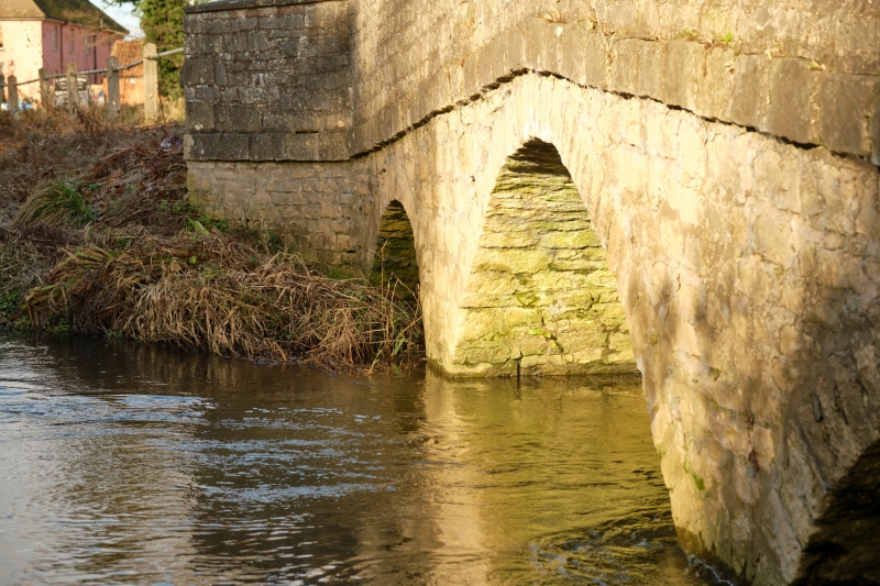
Road bridge. Early C19. Dressed stone with ashlar dressings.
String course. Splayed parapet walls with saddleback coping. 3
semi-circular arches, the central one largest, with plain piers.
Included for group value only.
Listing NGR: SK6183070147
External links are from the relevant listing authority and, where applicable, Wikidata. Wikidata IDs may be related buildings as well as this specific building. If you want to add or update a link, you will need to do so by editing the Wikidata entry.


Other nearby listed buildings