Approximate Location Map
Large Map »
Latitude: 52.2337 / 52°14'1"N
Longitude: 0.2761 / 0°16'34"E
OS Eastings: 555534
OS Northings: 261944
OS Grid: TL555619
Mapcode National: GBR M8F.YDH
Mapcode Global: VHHK5.Q3VY
Plus Code: 9F4267MG+FF
Entry Name: Barn, to South of Burgh Hall
Listing Date: 1 December 1951
Grade: II
Source: Historic England
Source ID: 1165930
English Heritage Legacy ID: 49440
ID on this website: 101165930
Location: Swaffham Bulbeck, East Cambridgeshire, CB25
County: Cambridgeshire
District: East Cambridgeshire
Civil Parish: Swaffham Bulbeck
Built-Up Area: Swaffham Bulbeck
Traditional County: Cambridgeshire
Lieutenancy Area (Ceremonial County): Cambridgeshire
Church of England Parish: Swaffham Bulbeck St Mary
Church of England Diocese: Ely
Tagged with: Barn
TL 56 SE SWAFFHAM BULBECK HIGH STREET
(West Side)
4/141 Barn, to South of
Burgh Hall
1.12.1951
GV II
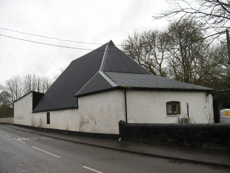
Barn, C17. Timber-framed, weatherboarded with a half-hipped
roof, now with corrugated iron (originally thatched). Three
bay, aisled
R.C.H.M. (North East Cambs.), p102, mon (4)
Listing NGR: TL5553461944
External links are from the relevant listing authority and, where applicable, Wikidata. Wikidata IDs may be related buildings as well as this specific building. If you want to add or update a link, you will need to do so by editing the Wikidata entry.


Other nearby listed buildings
