Latitude: 54.0536 / 54°3'12"N
Longitude: -2.8053 / 2°48'19"W
OS Eastings: 347377
OS Northings: 462259
OS Grid: SD473622
Mapcode National: GBR 8PVK.GN
Mapcode Global: WH846.WCBS
Plus Code: 9C6V353V+CV
Entry Name: 25, St Georges Quay
Listing Date: 18 February 1970
Grade: II
Source: Historic England
Source ID: 1195082
English Heritage Legacy ID: 383300
ID on this website: 101195082
Location: Lancaster, Lancashire, LA1
County: Lancashire
District: Lancaster
Electoral Ward/Division: Castle
Parish: Non Civil Parish
Built-Up Area: Lancaster
Traditional County: Lancashire
Lieutenancy Area (Ceremonial County): Lancashire
Church of England Parish: Lancaster St Mary with St John and St Anne
Church of England Diocese: Blackburn
Tagged with: Building
LANCASTER
SD4762 ST GEORGE'S QUAY 1685-1/3/266 (South West side) 18/02/70 No.25
GV II
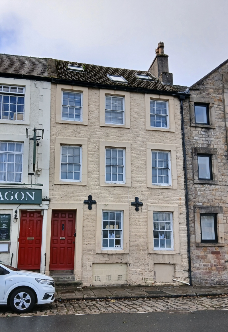
House. c1760, altered C20. Coursed sandstone with ashlar dressings. Roof with C20 interlocking tiles. 3 storeys above a cellar and 3 bays. All the windows have 12-pane sashes and plain surrounds. The doorway, which is in the left-hand bay, has a similar surround and a door of 12 panels. Chimney to right. The rear elevation has 2 round-headed windows, with intersecting Gothick glazing bars. HISTORY: probably built in conjunction with the warehouse on the corner of Elm Street (qv) to the right, which had a beam dated Apr 3 1760 with candlesmoke.
Listing NGR: SD4737562258
External links are from the relevant listing authority and, where applicable, Wikidata. Wikidata IDs may be related buildings as well as this specific building. If you want to add or update a link, you will need to do so by editing the Wikidata entry.


Other nearby listed buildings