Latitude: 51.4669 / 51°28'0"N
Longitude: -2.5915 / 2°35'29"W
OS Eastings: 359006
OS Northings: 174378
OS Grid: ST590743
Mapcode National: GBR C8F.V0
Mapcode Global: VH88N.1DBB
Plus Code: 9C3VFC85+Q9
Entry Name: Numbers 175, 177 and 179 and Attached Boundary Walls, Piers and Railings
Listing Date: 23 May 1994
Grade: II
Source: Historic England
Source ID: 1205067
English Heritage Legacy ID: 379117
ID on this website: 101205067
Location: Cotham, Bristol, BS6
County: City of Bristol
Electoral Ward/Division: Cotham
Parish: Non Civil Parish
Built-Up Area: Bristol
Traditional County: Gloucestershire
Lieutenancy Area (Ceremonial County): Bristol
Church of England Parish: Bristol St Matthew and St Nathanael
Church of England Diocese: Bristol
Tagged with: Building
BRISTOL
ST5974 CHELTENHAM ROAD 901-1/36/39 (West side) 23/05/94 Nos.175, 177 AND 179 and attached boundary walls, piers and railings
GV II
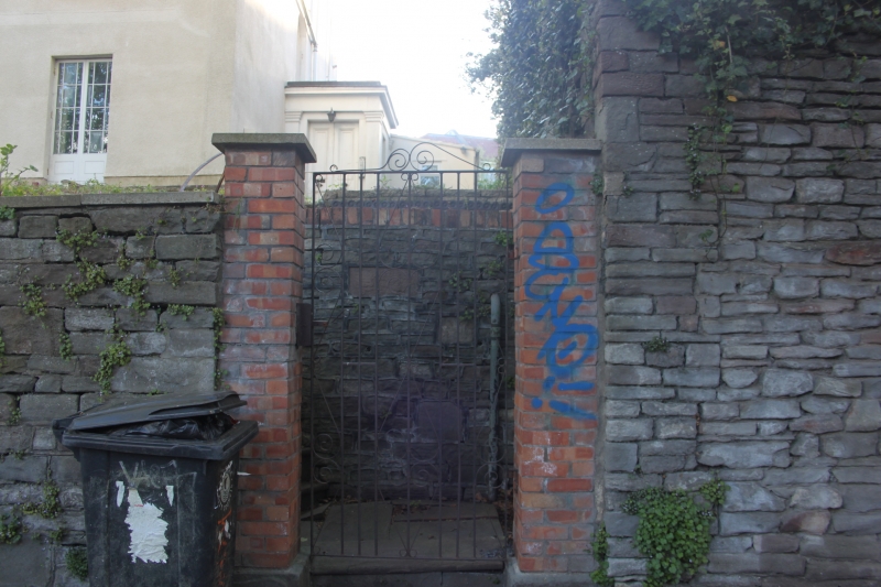
Terrace of 3 houses. Early C19. Render with limestone dressings, party wall stacks, roof not visible. Double-depth plan. 2 storeys; 7-window range. A symmetrical terrace, the ends projecting, with pilasters, cornice and parapet. 2-storey left-hand entrance block with shallow pediment to 6-panel doors. Single-storey right-hand entrance block with pair of 2-panel doors and a tall central doorway. French windows, with a full-width wrought-iron verandah now only to the centre, 8/8-pane first-floor and 4/8-pane second-floor sashes, and semicircular-arched windows in the end blocks over the doors. INTERIOR not inspected. SUBSIDIARY FEATURES: front boundary walls and piers with wrought-iron railings.
Listing NGR: ST5900674378
External links are from the relevant listing authority and, where applicable, Wikidata. Wikidata IDs may be related buildings as well as this specific building. If you want to add or update a link, you will need to do so by editing the Wikidata entry.


Other nearby listed buildings