Approximate Location Map
Large Map »
Latitude: 52.3376 / 52°20'15"N
Longitude: -2.2882 / 2°17'17"W
OS Eastings: 380462
OS Northings: 271091
OS Grid: SO804710
Mapcode National: GBR 0BZ.J8Z
Mapcode Global: VH920.9H6W
Plus Code: 9C4V8PQ6+2P
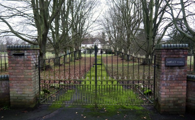
Entry Name: Areley Hall
Listing Date: 5 July 1950
Grade: II
Source: Historic England
Source ID: 1209442
English Heritage Legacy ID: 393303
ID on this website: 101209442
Location: Areley Kings, Wyre Forest, Worcestershire, DY13
County: Worcestershire
District: Wyre Forest
Civil Parish: Stourport-on-Severn
Built-Up Area: Stourport-on-Severn
Traditional County: Worcestershire
Lieutenancy Area (Ceremonial County): Worcestershire
Church of England Parish: Areley Kings
Church of England Diocese: Worcester
Tagged with: Architectural structure
STOURPORT ON SEVERN
SO8071SW ARELEY LANE, Areley Kings
589-1/7/81 (North side)
05/07/50 Areley Hall
II
Large house, formerly comprising a single dwelling with
Muxlowe House (q.v.). Substantially late C16, though with
extensive alterations c1820 and c1870. Largely timber-framed,
though with some brick additions, and roughcast rendered
throughout. Main front faces south, 2-storeyed with 3-storeyed
porch, 4 bays with a narrow additional section added to left
in late C19. Doorway to right, not in its original position,
with carved and studded door with round arched fanlight over.
It is located one bay to right of projecting full-height
gabled porch with exposed timbering in the gable apex, close
studding with decorative braces above the lower rail. This is
carried on C19 Doric columns, encasing earlier supports, which
also form the structure for a flat-roofed porch over the
present doorway. Windows are casements with mullions and
transoms beneath hoodmoulds, probably c1820. Large axial brick
stack between the 2 left-hand units. Projection beneath the
roughcast across the facade may be sill band of brick facing,
or possibly remains of timber jettying. Rear elevation
comprises 3 projecting gables of different heights and
periods. The outer 2 may be original - certainly the left hand
gable houses the staircase which is clearly integral to the
early timber framed construction - but all fenestration is
late C19 or early C20. There is a lower projecting wing beyond
to the left, probably partly C18, but extended by a further
bay early C20. Inside, the staircase and the roof stucture
suggest that substantial parts of the original structure
survive, though fire-places and other internal detail relate
to the C19 improvements.
Listing NGR: SO8046271091
External links are from the relevant listing authority and, where applicable, Wikidata. Wikidata IDs may be related buildings as well as this specific building. If you want to add or update a link, you will need to do so by editing the Wikidata entry.


Other nearby listed buildings
