Latitude: 54.0513 / 54°3'4"N
Longitude: -2.8041 / 2°48'14"W
OS Eastings: 347452
OS Northings: 462005
OS Grid: SD474620
Mapcode National: GBR 8PVL.QG
Mapcode Global: WH846.WFWJ
Plus Code: 9C6V352W+G9
Entry Name: Garden House Behind Number 2, Greycourt
Listing Date: 22 December 1953
Last Amended: 13 March 1995
Grade: II
Source: Historic England
Source ID: 1214229
English Heritage Legacy ID: 383321
ID on this website: 101214229
Location: Lancaster, Lancashire, LA1
County: Lancashire
District: Lancaster
Electoral Ward/Division: Castle
Parish: Non Civil Parish
Built-Up Area: Lancaster
Traditional County: Lancashire
Lieutenancy Area (Ceremonial County): Lancashire
Church of England Parish: Lancaster St Mary with St John and St Anne
Church of England Diocese: Blackburn
Tagged with: Garden house
LANCASTER
SD4762 ST MARY'S GATE 1685-1/3/287 (North side) 22/12/53 Garden house behind No.2, Greycourt (Formerly Listed as: CHURCH STREET Garden House to No.2 Church Street (Greycourt))
GV II
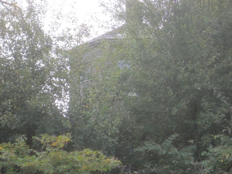
Summerhouse. Late C18, restored c1987. Squared sandstone rubble, with ashlar upper storey. Slate roof. Octagonal plan. 2 storeys above a cellar. Built against a garden wall, with a doorway on the south-east side. On the ground floor there are windows on the 3 sides to the right of the doorway. They have glazing bar sashes which appear to be C20 reproductions of the originals. The first-floor windows are similar and have a sill band. The southern side (to the left of the doorway) has a blind recess. Stone gutter cornice and central octagonal ashlar chimney cap. INTERIOR: contains a cantilevered stone stair with iron stick balusters and a mahogany handrail. A second flight of stone steps leads to a barrel-vaulted cellar. On the first floor is a cast-iron fireplace surround with a hob grate and boiler. HISTORY: not shown on Stephen Mackereth's map of 1778, but appears on J Walker's engraving of Lancaster Old Bridge in 1797. Clark, writing in 1807 about the adjoining Wery Wall (qv), said that 'A fragment of this wall is yet to be seen, adjoining the garden of John Ford Esq. part of which... sustains the north wall of his summer-house, adjoining the Vicarage Field.' (Centre for North-West Regional Studies Occasional Papers: White A & Shotter D: The Roman Fort and Town of Lancaster: Lancaster: 1990-: 8).
Listing NGR: SD4745262005
External links are from the relevant listing authority and, where applicable, Wikidata. Wikidata IDs may be related buildings as well as this specific building. If you want to add or update a link, you will need to do so by editing the Wikidata entry.


Other nearby listed buildings