Latitude: 53.3853 / 53°23'7"N
Longitude: -3.0249 / 3°1'29"W
OS Eastings: 331927
OS Northings: 388095
OS Grid: SJ319880
Mapcode National: GBR 7Y99.X5
Mapcode Global: WH87D.H5SL
Plus Code: 9C5R9XPG+42
Entry Name: 47 49, Clifton Road
Listing Date: 28 March 1974
Grade: II
Source: Historic England
Source ID: 1217924
English Heritage Legacy ID: 389169
ID on this website: 101217924
Location: Tranmere, Wirral, Merseyside, CH41
County: Wirral
Electoral Ward/Division: Birkenhead and Tranmere
Parish: Non Civil Parish
Built-Up Area: Birkenhead
Traditional County: Cheshire
Lieutenancy Area (Ceremonial County): Merseyside
Church of England Parish: Birkenhead Christ the King
Church of England Diocese: Chester
Tagged with: Building
BIRKENHEAD
SJ3188 CLIFTON ROAD 789-1/11/58 (East side) 28/03/74 Nos.47 AND 49
GV II
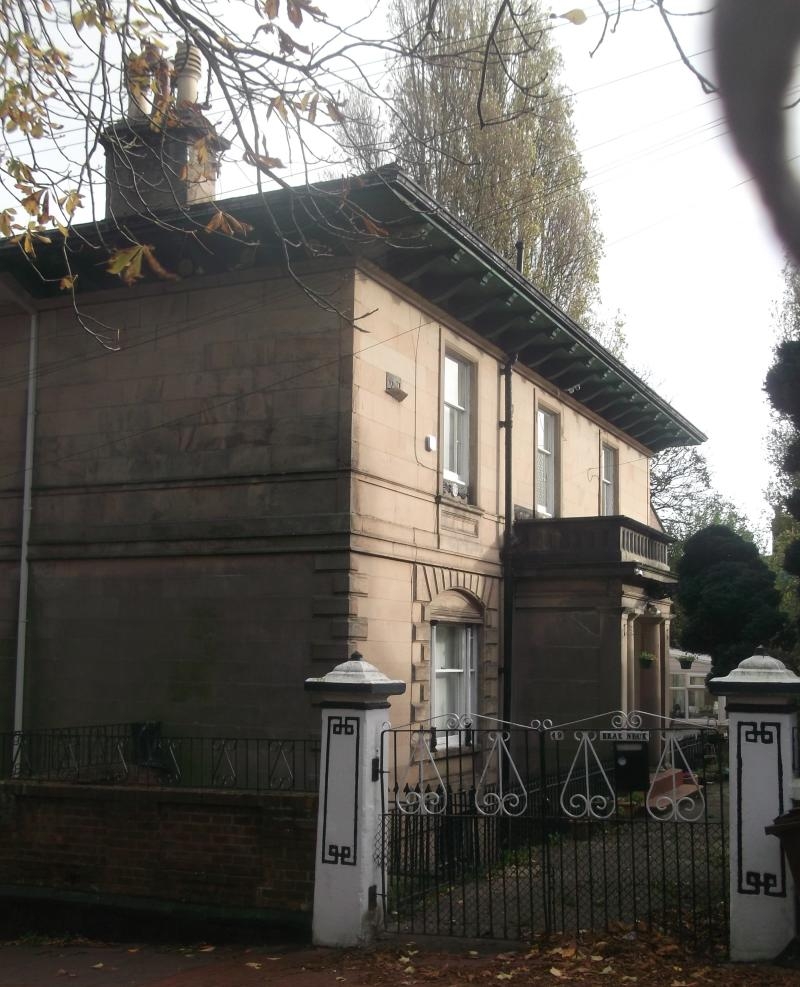
Pair of houses, now in institutional use. c1843. Walter Scott. Ashlar with Welsh slate roof. 2 storeys over basement taking account of sloping site. North elevation of 5 bays. 6-pane sash windows with margin lights to first floor and projecting fretted stone-work balcony carried on square columns which form divisions for 2-tripartite sash bay windows at ground floor level. Cast-iron acanthus decoration to ground floor balcony. Secondary door in plain architrave in side elevation. Heavy overhang to roof carried on moulded wood brackets. Main entrance in centre of 3 bay upper elevation. Doric porch with paired shafts and balustraded parapet flanked by segmentally arched tripartite sashes with ornate cast-iron colonettes, stressed quoins and voussoirs. End wall stacks. Clifton Park was laid out as a planned villa estate.
Listing NGR: SJ3192788095
External links are from the relevant listing authority and, where applicable, Wikidata. Wikidata IDs may be related buildings as well as this specific building. If you want to add or update a link, you will need to do so by editing the Wikidata entry.


Other nearby listed buildings