Approximate Location Map
Large Map »
Latitude: 50.7315 / 50°43'53"N
Longitude: -2.7582 / 2°45'29"W
OS Eastings: 346586
OS Northings: 92707
OS Grid: SY465927
Mapcode National: GBR PP.0K15
Mapcode Global: FRA 5734.P8R
Plus Code: 9C2VP6JR+JP
Entry Name: 62 and 62A, South Street
Listing Date: 19 September 1975
Grade: II
Source: Historic England
Source ID: 1228329
English Heritage Legacy ID: 402925
ID on this website: 101228329
Location: New Zealand, Dorset, DT6
County: Dorset
Civil Parish: Bridport
Built-Up Area: Bridport
Traditional County: Dorset
Lieutenancy Area (Ceremonial County): Dorset
Church of England Parish: Bridport St Mary
Church of England Diocese: Salisbury
Tagged with: Building
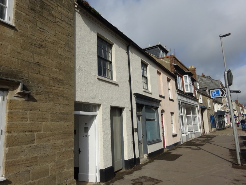
1.
5l91 SOUTH STREET
(West Side)
Nos 62 and 62A
SY 4692 1/443
II
2.
Late C18 or early C19. Rendered. Stone plinth. Pitched slate roof. Red
brick stacks. 2 storeys. Eaves cornice of diagonally placed bricks. 5 ranges
of sashes with glazing bars. 1 blocked window on 1st floor. 1 C19 shop front
with cornice over it and adjacent door. 1 modern door with elliptically arched
fanlight.
Listing NGR: SY4658192704
External links are from the relevant listing authority and, where applicable, Wikidata. Wikidata IDs may be related buildings as well as this specific building. If you want to add or update a link, you will need to do so by editing the Wikidata entry.


Other nearby listed buildings
