Latitude: 52.9288 / 52°55'43"N
Longitude: -0.633 / 0°37'58"W
OS Eastings: 491988
OS Northings: 337693
OS Grid: SK919376
Mapcode National: GBR DPY.8T5
Mapcode Global: WHGKH.7NT3
Plus Code: 9C4XW9H8+GR
Entry Name: 9 and 10, High Road
Listing Date: 21 September 1979
Last Amended: 14 November 1994
Grade: II
Source: Historic England
Source ID: 1235941
English Heritage Legacy ID: 382893
ID on this website: 101235941
Location: Manthorpe, South Kesteven, Lincolnshire, NG31
County: Lincolnshire
District: South Kesteven
Civil Parish: Belton and Manthorpe
Built-Up Area: Grantham
Traditional County: Lincolnshire
Lieutenancy Area (Ceremonial County): Lincolnshire
Church of England Parish: Grantham Manthorpe
Church of England Diocese: Lincoln
Tagged with: Building
BELTON & MANTHORPE SK9137 HIGH ROAD, Manthorpe 1315-0/10/116 (West side) 21/09/79 Nos.9 AND 10 (Formerly Listed as: HIGH ROAD, Manthorpe Nos.l-10 (Consecutive)) GV II
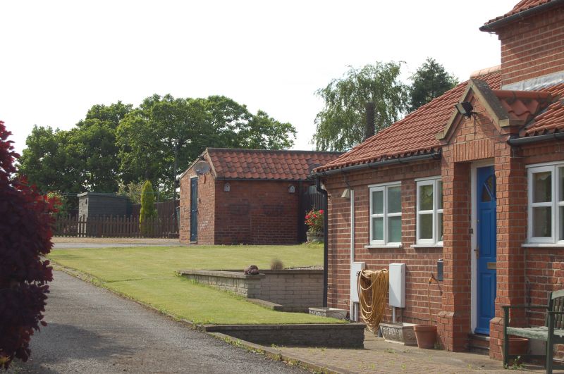
Pair of estate cottages, now houses. Mid C19, with late C20 additions and alterations. Brick with pantile roofs. 2 brick gable stacks on corbels, with square coped twisted double stacks. Cogged eaves. 2 storeys; 2 window range. Front ground floor windows are larger. 2 through-eaves dormers with steep pitched coped gables and 2-light casements, that to left renewed. Below, a 3-light wooden framed cross casement to right, and a renewed window to left. Each return has a lean-to porch towards the rear, that to right with a brick gable over the door. An estate cottage provided for workers on the Belton estate by the Brownlow family of Belton House. (The Buildings of England: Pevsner N, Harris J & Antram N: Lincolnshire: London: 1964-1989: 550).
Listing NGR: SK9198837693
External links are from the relevant listing authority and, where applicable, Wikidata. Wikidata IDs may be related buildings as well as this specific building. If you want to add or update a link, you will need to do so by editing the Wikidata entry.


Other nearby listed buildings