Latitude: 52.7092 / 52°42'33"N
Longitude: -2.7516 / 2°45'5"W
OS Eastings: 349316
OS Northings: 312661
OS Grid: SJ493126
Mapcode National: GBR BJ.2H7P
Mapcode Global: WH8BT.P5XC
Plus Code: 9C4VP65X+M9
Entry Name: 37, 38 and 38A, Castle Street
Listing Date: 19 September 1972
Grade: II
Source: Historic England
Source ID: 1246908
English Heritage Legacy ID: 455972
ID on this website: 101246908
SHREWSBURY
SJ4912NW CASTLE STREET 653-1/11/174 (South East side) 10/01/53 Nos.37, 38 AND 38A
GV II
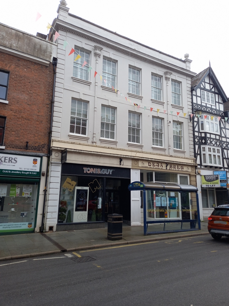
House, now bank. Dated 1723. Stucco over brick with roof not visible behind parapet. 3 storeys, 5-window range with inserted shop front flanked by rusticated stone piers and with cornice over. 12-pane sash windows above with glazing bars removed from lower sash. Moulded sills, recessed aprons, and stressed keystones which link to string course. Stressed angle quoins. Cornice with dentilling below parapet with ball finials. 2 rainwater heads dated 1723. No.38A listed on 30.5.69.
Listing NGR: SJ4932312656
External links are from the relevant listing authority and, where applicable, Wikidata. Wikidata IDs may be related buildings as well as this specific building. If you want to add or update a link, you will need to do so by editing the Wikidata entry.


Other nearby listed buildings