Approximate Location Map
Large Map »
Latitude: 53.398 / 53°23'52"N
Longitude: -1.9924 / 1°59'32"W
OS Eastings: 400602
OS Northings: 389015
OS Grid: SK006890
Mapcode National: GBR GYJ4.GN
Mapcode Global: WHB9Z.CVGF
Plus Code: 9C5W92X5+52
Entry Name: Barn at Hollins Farm
Listing Date: 8 October 1993
Grade: II
Source: Historic England
Source ID: 1249823
English Heritage Legacy ID: 352018
ID on this website: 101249823
Location: Rowarth, High Peak, Derbyshire, SK22
County: Derbyshire
District: High Peak
Civil Parish: New Mills
Traditional County: Derbyshire
Lieutenancy Area (Ceremonial County): Derbyshire
Church of England Parish: New Mills St George
Church of England Diocese: Derby
Tagged with: Barn
The following building shall be added:
NEW MILLS HOLLINSMOOR ROAD (off)
SK 08 NW
Rowarth
(south side)
912- /4/10004 Barn at Hollins Farm
II
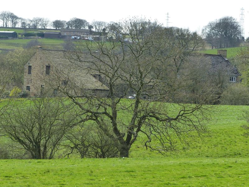
Farm outbuilding, combining functions of barn and cowhouse. Mid to late C18,
incorporating an earlier doorway dated 1692, and with C19 alterations and additions.
Coursed rubble gritstone, rising from a shallow plinth and with massive quoins. Stone slated
roof, replaced on one bay of south elevation with Welsh slate. South elevation; five bays, the
central bay with tall double opening without doors giving access to paved threshing bay.
Single doorway to west end with massive chamfered and cambered lintol on quoined
surround.Three tiers of slit breathers to west of central doorway, two tiers to east, together
with three inserted openings. North elevation with original offshut to west and added
milking parlour offshut to east. East gable with full-height doorway to granary overloft with
hoist beam above. West gable with two cowhouse doorways and window to light central
feed passage. Interior; three king post trusses with pegged joints, two with curved side braces,
carry a double purlin roof with ridge purlin. North end of west truss cassied on tall stone
pier. _
Listing NGR: SK0060289015
External links are from the relevant listing authority and, where applicable, Wikidata. Wikidata IDs may be related buildings as well as this specific building. If you want to add or update a link, you will need to do so by editing the Wikidata entry.


Other nearby listed buildings
