Latitude: 51.581 / 51°34'51"N
Longitude: -2.0945 / 2°5'40"W
OS Eastings: 393546
OS Northings: 186910
OS Grid: ST935869
Mapcode National: GBR 2QZ.Z45
Mapcode Global: VH95S.NJ2B
Plus Code: 9C3VHWJ4+C5
Entry Name: St Johns Bridge and Attached Walls
Listing Date: 18 January 1949
Grade: II
Source: Historic England
Source ID: 1269281
English Heritage Legacy ID: 460945
ID on this website: 101269281
Location: Burton Hill, Wiltshire, SN16
County: Wiltshire
Civil Parish: Malmesbury
Built-Up Area: Malmesbury
Traditional County: Wiltshire
Lieutenancy Area (Ceremonial County): Wiltshire
Church of England Parish: Malmesbury and Brokenborough
Church of England Diocese: Bristol
Tagged with: Bridge
MALMESBURY
ST9386 ST JOHN'S BRIDGE 758-1/3/297 St John's Bridge and attached walls 18/01/49
GV II
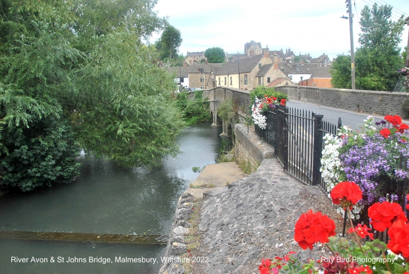
Bridge and attached walls. Mid C19. Limestone ashlar and coursed squared limestone rubble. 3 round arches, larger to the centre, with cutwaters and pilaster strips, string at parapet level, and coped parapet with lancet openings. SUBSIDIARY FEATURES: attached parapet walls extend approx 20m to NW. HISTORICAL NOTE: on site of earlier bridge, also known as Mill or Town Bridge.
Listing NGR: ST9353686925
External links are from the relevant listing authority and, where applicable, Wikidata. Wikidata IDs may be related buildings as well as this specific building. If you want to add or update a link, you will need to do so by editing the Wikidata entry.


Other nearby listed buildings