Approximate Location Map
Large Map »
Latitude: 52.6276 / 52°37'39"N
Longitude: -2.3665 / 2°21'59"W
OS Eastings: 375288
OS Northings: 303373
OS Grid: SJ752033
Mapcode National: GBR 07D.8HP
Mapcode Global: WH9DJ.M69Z
Plus Code: 9C4VJJHM+29
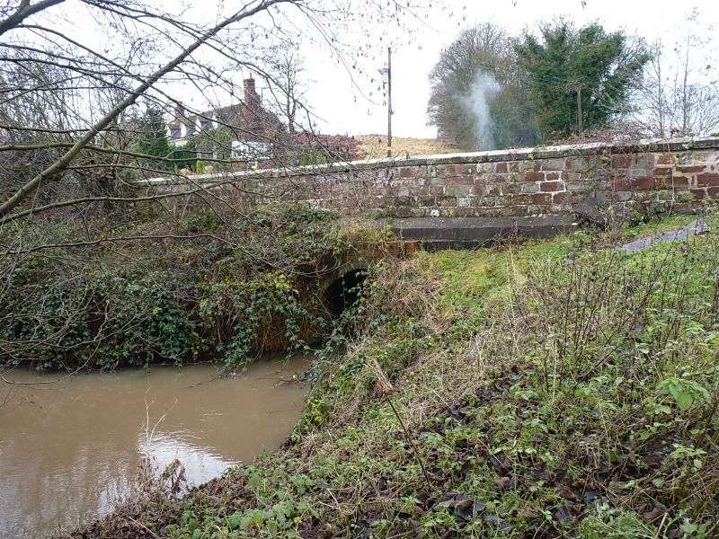
Entry Name: Oldforge Bridge
Listing Date: 26 September 1984
Grade: II
Source: Historic England
Source ID: 1273721
English Heritage Legacy ID: 417336
ID on this website: 101273721
Location: Ryton, Shropshire, TF11
County: Shropshire
Civil Parish: Ryton
Traditional County: Shropshire
Lieutenancy Area (Ceremonial County): Shropshire
Church of England Parish: Ryton St Andrew
Church of England Diocese: Lichfield
External links are from the relevant listing authority and, where applicable, Wikidata. Wikidata IDs may be related buildings as well as this specific building. If you want to add or update a link, you will need to do so by editing the Wikidata entry.


Other nearby listed buildings
