Approximate Location Map
Large Map »
Latitude: 52.4111 / 52°24'39"N
Longitude: -1.7723 / 1°46'20"W
OS Eastings: 415582
OS Northings: 279258
OS Grid: SP155792
Mapcode National: GBR 4J0.W5D
Mapcode Global: VH9ZC.7NDH
Plus Code: 9C4WC66H+C3
Entry Name: 22, Park Road
Listing Date: 22 July 1976
Grade: II
Source: Historic England
Source ID: 1281721
English Heritage Legacy ID: 218292
ID on this website: 101281721
Location: Solihull, West Midlands, B91
County: Solihull
Electoral Ward/Division: St Alphege
Parish: Non Civil Parish
Built-Up Area: Solihull
Traditional County: Warwickshire
Lieutenancy Area (Ceremonial County): West Midlands
Church of England Parish: Solihull
Church of England Diocese: Birmingham
Tagged with: Building
SOLIHULL PARK ROAD
1.
5108
(South Side)
No 22
SP 1579 1/456
II
2.
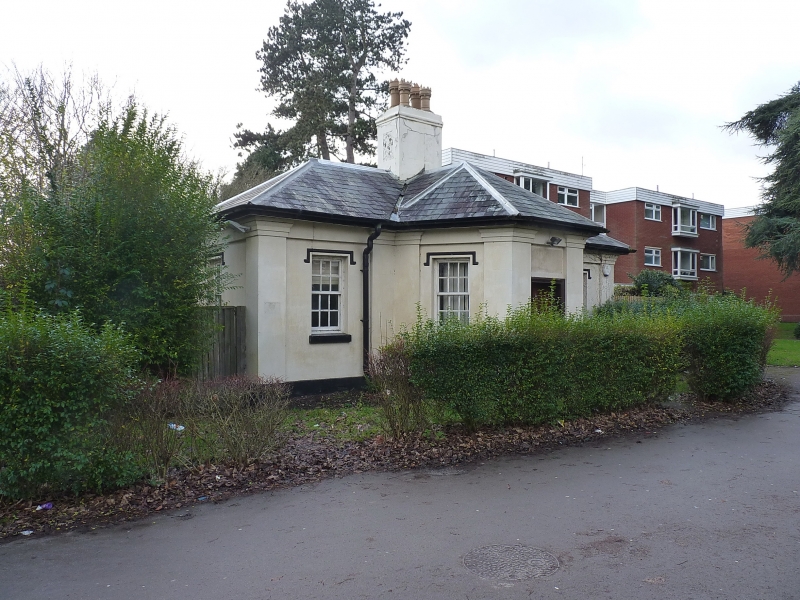
Former lodge to Malvern Park. Early to mid C19. Stucco, hipped Welsh slated roof
with eaves cornice and frieze. Single storey, sash windows, dripmoulds. Angles
have modified Doric pilasters; central bay, canted with 4 panel door flanked by
windows.
Listing NGR: SP1558279258
External links are from the relevant listing authority and, where applicable, Wikidata. Wikidata IDs may be related buildings as well as this specific building. If you want to add or update a link, you will need to do so by editing the Wikidata entry.


Other nearby listed buildings
