Latitude: 50.7898 / 50°47'23"N
Longitude: -2.1246 / 2°7'28"W
OS Eastings: 391311
OS Northings: 98925
OS Grid: SY913989
Mapcode National: GBR 209.HMT
Mapcode Global: FRA 67F0.B26
Plus Code: 9C2VQVQG+W5
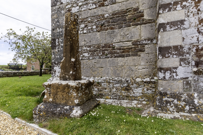
Entry Name: Churchyard Cross 2 Metres South of the Tower
Listing Date: 18 March 1955
Grade: II
Source: Historic England
Source ID: 1323559
English Heritage Legacy ID: 107676
ID on this website: 101323559
Location: St Mary's Church, Almer, Dorset, DT11
County: Dorset
Civil Parish: Sturminster Marshall
Traditional County: Dorset
Lieutenancy Area (Ceremonial County): Dorset
Church of England Parish: Almer and Charborough St Mary
Church of England Diocese: Salisbury
STURMINSTER MARSHALL
SY 99 NW ALMER
9/51 Churchyard Cross 2
Metres South of the
Tower
18.3.55
- II
Remains of Cross. c1400. Stone. Tapered octagonal shaft, brought to a
square at the bottom by shaped stops, and set on an octagonal base, brought
to a square by moulded projections. Ancient Monument (County Ref No. 630).
RCHM
Listing NGR: SY9131198925


Other nearby listed buildings