Latitude: 50.2205 / 50°13'13"N
Longitude: -5.2268 / 5°13'36"W
OS Eastings: 169915
OS Northings: 40598
OS Grid: SW699405
Mapcode National: GBR Z3.FB2C
Mapcode Global: VH12K.CQ59
Plus Code: 9C2P6QCF+67
Entry Name: Milepost Opposite Turning to Carnkie at SW 699 406
Listing Date: 12 September 1989
Grade: II
Source: Historic England
Source ID: 1328177
English Heritage Legacy ID: 66799
ID on this website: 101328177
Location: Cornwall, TR16
County: Cornwall
Civil Parish: Redruth
Traditional County: Cornwall
Lieutenancy Area (Ceremonial County): Cornwall
Church of England Parish: Redruth
Church of England Diocese: Truro
Tagged with: Milestone
REDRUTH BUCKETT'S HILL
SW 64 SE
(east side)
5/245
Milepost opposite turning to
Carnkie at SW 699 406
II
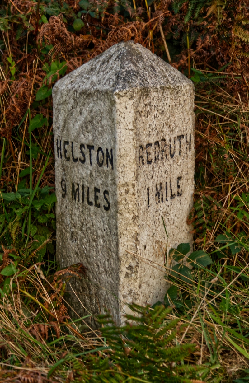
Milepost. Late C19. Dressed granite. Triangular type approx. ½ metre high,
with broaches to square base, sides inscribed:-
HELSTON REDRUTH
9 MILES 1 MILE
Listing NGR: SW6991540598
External links are from the relevant listing authority and, where applicable, Wikidata. Wikidata IDs may be related buildings as well as this specific building. If you want to add or update a link, you will need to do so by editing the Wikidata entry.


Other nearby listed buildings