Approximate Location Map
Large Map »
Latitude: 53.1756 / 53°10'31"N
Longitude: -1.6416 / 1°38'29"W
OS Eastings: 424049
OS Northings: 364331
OS Grid: SK240643
Mapcode National: GBR 586.ZQR
Mapcode Global: WHCDF.RFGX
Plus Code: 9C5W59G5+68
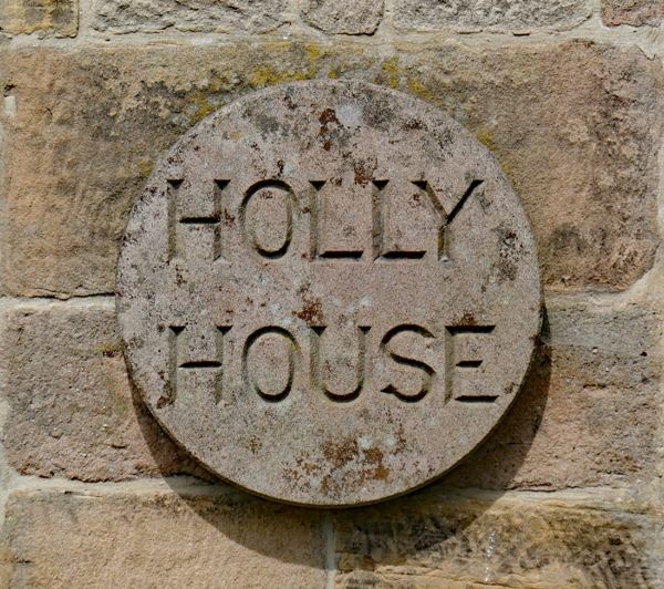
Entry Name: Holly House
Listing Date: 12 July 1967
Last Amended: 14 February 1985
Grade: II*
Source: Historic England
Source ID: 1334986
English Heritage Legacy ID: 81054
ID on this website: 101334986
Location: Stanton in Peak, Derbyshire Dales, Derbyshire, DE4
County: Derbyshire
District: Derbyshire Dales
Civil Parish: Stanton
Traditional County: Derbyshire
Lieutenancy Area (Ceremonial County): Derbyshire
Church of England Parish: Stanton-in-Peak Holy Trinity
Church of England Diocese: Derby
Tagged with: House
SK 26 SW PARISH OF STANTON IN THE PEAK MAIN STREET
4/55 (North Side)
Holly House (formerly
12.7.67 listed as 'House occupied
by Mrs S Phillips and G
Holland')
GV II*
House, now divided into two. Late Cl7, refronted and raised in early C18 with
later alterations. Coursed, squared gritstone with ashlar facade, gritstone
dressings and quoins to rear, plinth, wide plain bands between storeys, plain
quoined corner pilasters, moulded eaves cornice, projecting over pilasters and
plain parapets. Steeply pitched plain tile roof with stone ridge, stone gable
end stacks, and stone coped gables with moulded kneelers. Three storeys, five
bays to front, three bays to rear with single storey projecting wing to west.
Central moulded doorcase with segmental pediment on tall brackets and panelled
door with plain overlight. To east side, a pair of windows, with glazing bar
sash in raised, shouldered, surround to east and a blocked 2-light square
sectioned mullion window with similar surround to west. Similar windows in
same arrangement to west side. Beyond, to west, two 2-light square sectioned
mullioned windows to projecting wing, one now blocked. Above, to main facade,
four similar windows to those below in same arrangement, plus central blocked
2-light mullion window. Above again, similar, but shallower, windows in same
arrangement. Rear elevation has central flush doorcase with raised fillet to
edge and plain entablature. To either side, C17 3-light recessed and chamfered
mullion windows, that to west with western light blocked. Above, plain band
and similar windows to those below. Between them a tall C18 flush mullion and
transom stair window. Above again, another plain band and three 2-light C18
flush mullion windows. Interior has a good quality early C18 open welled winder
staircase in oak with turned, knopped, balusters and moulded handrail and an early
C18 panelled cupboard and pitch pine dado rail to ground floor rooms.
Listing NGR: SK2404964331
External links are from the relevant listing authority and, where applicable, Wikidata. Wikidata IDs may be related buildings as well as this specific building. If you want to add or update a link, you will need to do so by editing the Wikidata entry.


Other nearby listed buildings
