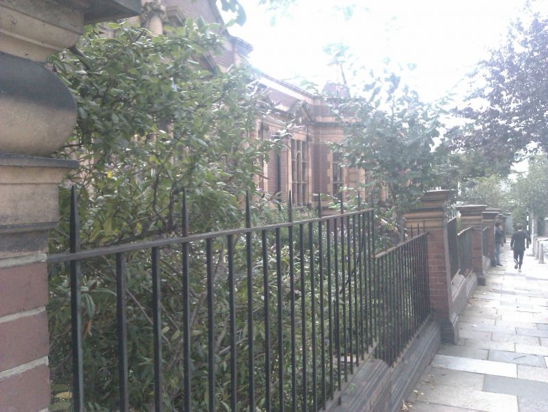
Latitude: 51.4608 / 51°27'38"N
Longitude: -0.0962 / 0°5'46"W
OS Eastings: 532353
OS Northings: 175249
OS Grid: TQ323752
Mapcode National: GBR QZ.JJ
Mapcode Global: VHGR6.8KZ1
Plus Code: 9C3XFW63+8G
Entry Name: Forecourt Walls and Piers to Carnegie Library
Listing Date: 27 March 1981
Grade: II
Source: Historic England
Source ID: 1358273
English Heritage Legacy ID: 204302
ID on this website: 101358273
Location: Lambeth, London, SE24
County: Lambeth
Electoral Ward/Division: Herne Hill
Built-Up Area: Lambeth
Traditional County: Surrey
Lieutenancy Area (Ceremonial County): Greater London
Church of England Parish: Herne Hill
Church of England Diocese: Southwark


Other nearby listed buildings