Latitude: 53.1939 / 53°11'37"N
Longitude: -2.8919 / 2°53'30"W
OS Eastings: 340508
OS Northings: 366679
OS Grid: SJ405666
Mapcode National: GBR 7B.2S1D
Mapcode Global: WH887.KZ3D
Plus Code: 9C5V54V5+G6
Entry Name: Wall Between North Part of Abbey Green and Deanery Field
Listing Date: 6 August 1998
Grade: II
Source: Historic England
Source ID: 1376022
English Heritage Legacy ID: 470008
ID on this website: 101376022
Location: Newtown, Cheshire West and Chester, Cheshire, CH1
County: Cheshire West and Chester
Electoral Ward/Division: Chester City
Parish: Non Civil Parish
Built-Up Area: Chester
Traditional County: Cheshire
Lieutenancy Area (Ceremonial County): Cheshire
Tagged with: Wall
CHESTER CITY (IM)
SJ4066NE ABBEY GREEN 595-1/2/6 Wall between north part of Abbey Green and Deanery Field
GV II
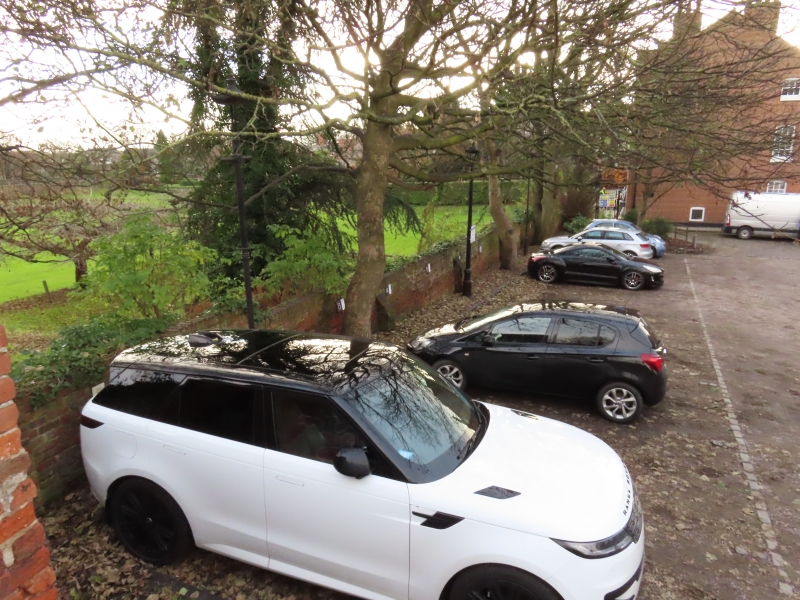
Boundary wall. C18 or earlier, altered. Sandstone and brick; blocked doorway, north, to City Wall; old sandstone base courses at north end and further south, and at higher level adjoining City Wall; flight of 5 stone steps, east, to Deanery Field.
Listing NGR: SJ4050866679
External links are from the relevant listing authority and, where applicable, Wikidata. Wikidata IDs may be related buildings as well as this specific building. If you want to add or update a link, you will need to do so by editing the Wikidata entry.


Other nearby listed buildings