Latitude: 51.4644 / 51°27'51"N
Longitude: -0.0853 / 0°5'6"W
OS Eastings: 533104
OS Northings: 175671
OS Grid: TQ331756
Mapcode National: GBR SY.Z7
Mapcode Global: VHGR6.GGS8
Plus Code: 9C3XFW77+PV
Entry Name: Wall and Gate to Number 47
Listing Date: 27 September 1972
Grade: II
Source: Historic England
Source ID: 1378471
English Heritage Legacy ID: 470772
ID on this website: 101378471
Location: Southwark, London, SE5
County: London
District: Southwark
Electoral Ward/Division: South Camberwell
Parish: Non Civil Parish
Built-Up Area: Southwark
Traditional County: Surrey
Lieutenancy Area (Ceremonial County): Greater London
Church of England Parish: Camberwell St Giles with St Matthew
Church of England Diocese: Southwark
Tagged with: Wall
TQ3375NW
636-1/46/198
27/09/72
SOUTHWARK
CHAMPION HILL
(North West side)
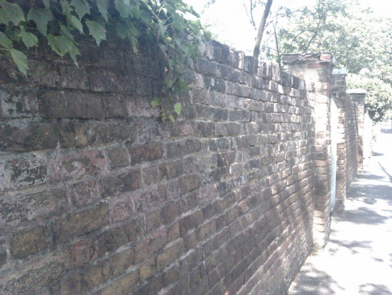
Wall and gate to No.47
GV
II
Garden wall and piers with iron gate with palmette-headed
uprights and overthrow. Early C19. Brick.
Listing NGR: TQ3310475671
External links are from the relevant listing authority and, where applicable, Wikidata. Wikidata IDs may be related buildings as well as this specific building. If you want to add or update a link, you will need to do so by editing the Wikidata entry.


Other nearby listed buildings