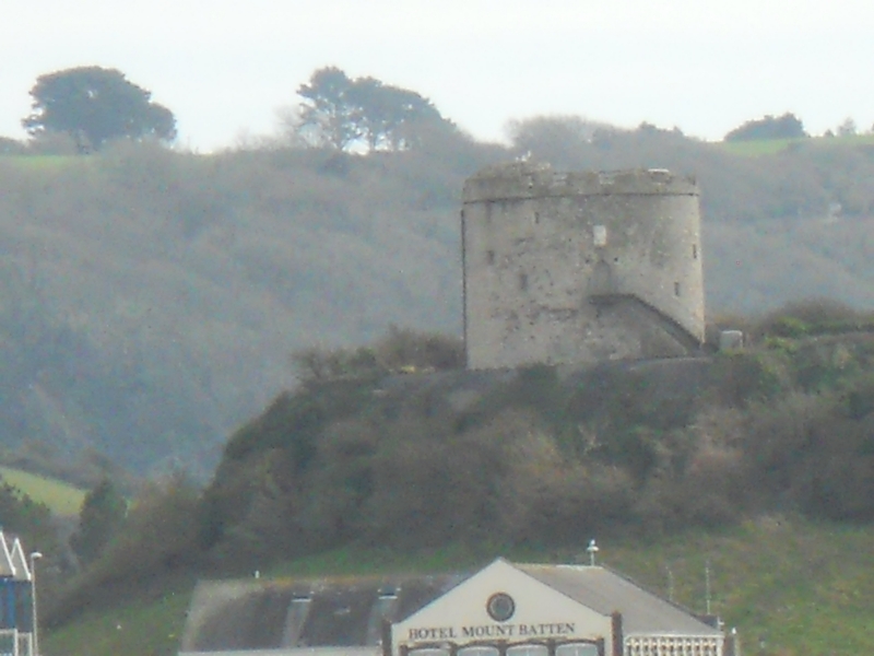
Latitude: 50.3597 / 50°21'34"N
Longitude: -4.1292 / 4°7'45"W
OS Eastings: 248644
OS Northings: 53251
OS Grid: SX486532
Mapcode National: GBR NX.VM68
Mapcode Global: FRA 2872.WPM
Plus Code: 9C2Q9V5C+V8
Entry Name: Mount Batten Tower
Listing Date: 1 May 1975
Grade: II*
Source: Historic England
Source ID: 1386253
English Heritage Legacy ID: 473638
ID on this website: 101386253
Location: Coxside, Plymouth, Devon, PL9
County: City of Plymouth
Electoral Ward/Division: Plymstock Radford
Parish: Non Civil Parish
Built-Up Area: Plymstock
Traditional County: Devon
Lieutenancy Area (Ceremonial County): Devon
Tagged with: Tower
PLYMOUTH
SX4953 MOUNT BATTEN POINT, Plymstock 740-1/68/603 Mount Batten Tower 01/05/75
GV II*
Coastal defence tower, set at the top of a cliff and quarried face. 1660s on the site of an earlier battery. Plymouth limestone rubble with some granite dressings; flat lead roof behind an embattled parapet with string course. PLAN: round plan, originally with basement store and heated room on each floor above, the upper floor under a domed stone vault; stone staircase within the thickness of the wall, the principal upper room doorway approached direct from the entrance doorway; steps up to parapet on the left and steps down to next room entrance on the right. There is a small store at the top of the stairs and a latrine set on the battlements. EXTERIOR: pointed-arched roll-moulded granite doorway mid-way up the wall; small granite stair windows irregularly disposed; 4-centred arched doorway to parapet store. INTERIOR: retains many original features including 4-centred arched granite doorway and 2 fireplaces, the lower fireplace with a timber lintel and the principal fireplace with moulded jambs and lintel and a triangular motif to the centre. FITTINGS: 3 C17 cannon on C20 replica carriages set up behind the battlements. HISTORY: erected as part of the post Civil War defences of Plymouth Sound and thought to be named after Captain Batten who was Governor of Plymouth during the Civil War. This tower is similar to Cromwell's Tower (1651) on Tresco, Isles of Scilly. (The Buildings of England: Pevsner N: Devon: London: 1989-: 649).
Listing NGR: SX4864453251
External links are from the relevant listing authority and, where applicable, Wikidata. Wikidata IDs may be related buildings as well as this specific building. If you want to add or update a link, you will need to do so by editing the Wikidata entry.


Other nearby listed buildings