Latitude: 56.6505 / 56°39'1"N
Longitude: -2.5107 / 2°30'38"W
OS Eastings: 368783
OS Northings: 751079
OS Grid: NO687510
Mapcode National: GBR VX.B2WS
Mapcode Global: WH8RX.D3NH
Plus Code: 9C8VMF2Q+5P
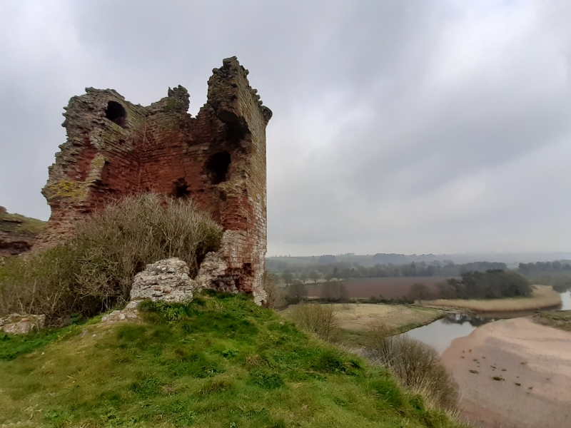
Entry Name: Red Castle - Keep.
Listing Date: 11 June 1971
Category: A
Source: Historic Scotland
Source ID: 343854
Historic Scotland Designation Reference: LB11274
Building Class: Cultural
ID on this website: 200343854
Location: Inverkeilor
County: Angus
Electoral Ward: Arbroath East and Lunan
Parish: Inverkeilor
Traditional County: Angus
Ruins and four-storey tower house in red ashlar, crowned
with parapet and angle bartizans. 15th century.
Elevated and picturesque site.


Other nearby listed buildings