Approximate Location Map
Large Map »
Latitude: 57.1439 / 57°8'37"N
Longitude: -2.0983 / 2°5'53"W
OS Eastings: 394152
OS Northings: 805889
OS Grid: NJ941058
Mapcode National: GBR SCF.D1
Mapcode Global: WH9QQ.RP0T
Plus Code: 9C9V4WV2+GM
Entry Name: Joint Station, Aberdeen
Listing Name: Guild Street Aberdeen Railway Station and Road Overbridge
Listing Date: 2 March 1990
Category: A
Source: Historic Scotland
Source ID: 355825
Historic Scotland Designation Reference: LB20673
Building Class: Cultural
Also known as: Aberdeen Joint Station
ABD
ID on this website: 200355825
Location: Aberdeen
County: Aberdeen
Town: Aberdeen
Electoral Ward: Torry/Ferryhill
Traditional County: Aberdeenshire
Tagged with: Railway station Harbour railway station
Entrance elevation to east; altered to ground; mid-height semi-circular window openings with fan-light glazing and small paired deep-set square windows above. Bays separated by paired Doric columns. Deep dentilled cornice. Stepped parapet.
The interior was seen in 2006. The spacious concourse with impressive shallow segmental-arched glass and steel roof with glazed end screens. Glass and steel awnings to platforms supported on cast iron columns and with decorative timber valances. Some flat-arched openings to block to east. Some glass and timber doors. Timber lined bridge giving access to platforms at west.
Internal spaces to buildings comprehensively modernised.
ROAD OVERBRIDGE: circa 1909 or circa 1913 bridge over railway tracks, to the north of the station, on Rivetted and latticed 2-span steel bowstring bridge with flat-span plate-girder pedestrian bridge either side to north and south. Plaque with inscription 'ALEXr FINDLAY & CO LIMITED PARKNEUK WORKS MOTHERWELL'. Corniced and panelled, granite terminal piers.
This station was the last major station to be built within Scotland. The use of sandstone as a building material for the entrance hall is unusual in Aberdeen, where granite is the more common building material. The large, open concourse with its open-frame steel roof is a particularly fine feature of this station, giving both light and space to the internal part of the station. The entrance pavilion is well-detailed with interesting dentil and column decoration and the large semi-circular windows are a particularly striking feature.
The road overbridge on Guild Street may date from 1909, which is the date of the former surburban railway beneath it, or 1913 when the rest of Aberdeen Station was built. A bridge in this location is shown on the 1st Edition Ordnance Survey map (surveyed 1866). However a plaque on the bridge attributes it to Alexander Findlay and Company, which was founded in 1888.
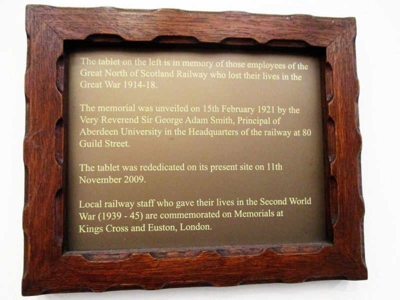
Known as the Joint Station, this station replaced an earlier one built in 1867. Previous to this, there had been two railway companies operating within Aberdeen, the Caledonian Railway and the Great North of Scotland Railway. Each had their own station and it was not unusual for GNSR to refuse to hold the trains if connecting services from the South via the Caledonian Railway were late and to close their station. The Joint Station of 1867 brought these two companies under the same roof, but quickly became inadequate for the amount of traffic and a replacement was begun in 1913. The building of the new station was entrusted to Mr J A Parker, the chief engineer of the Great North of Scotland Railway, as they owned the majority of the previous station. Although the work was begun in 1913, and the platforms were in use by the following year, the station was not completed until after the First World War. The station originally had 4 long through platforms and 10 bays, but these were reduced in the 1980s when the Northern end of the station was refurbished to provide car parking and increased commercial space.
Listed building record updated in 2006. Minor text updates to listed building record in 2016.
External links are from the relevant listing authority and, where applicable, Wikidata. Wikidata IDs may be related buildings as well as this specific building. If you want to add or update a link, you will need to do so by editing the Wikidata entry.


Other nearby listed buildings
