Approximate Location Map
Large Map »
Latitude: 55.8044 / 55°48'15"N
Longitude: -3.9932 / 3°59'35"W
OS Eastings: 275164
OS Northings: 658583
OS Grid: NS751585
Mapcode National: GBR 01KB.84
Mapcode Global: WH4QQ.MCPN
Plus Code: 9C7RR234+PP
Entry Name: Jerviston Railway Viaduct, Forgewood, Motherwell
Listing Name: Motherwell, South Calder Water, Jerviston Railway Viaduct
Listing Date: 28 January 1971
Category: B
Source: Historic Scotland
Source ID: 383444
Historic Scotland Designation Reference: LB38242
Building Class: Cultural
ID on this website: 200383444
Location: Motherwell and Wishaw
County: North Lanarkshire
Town: Motherwell And Wishaw
Electoral Ward: Motherwell West
Traditional County: Lanarkshire
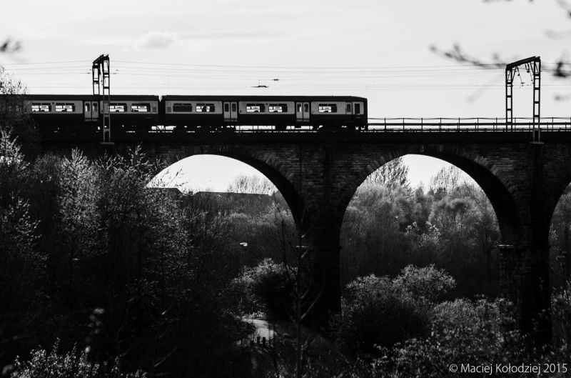
Later 19th century. Tall 9-arch, railway viaduct. Bull-faced yellow sandstone, archrings, ashlar string course to piers at springing height.
The advent of the railway was a key factor in the industrial development of Motherwell. The Wishaw and Coltness Railway opened in 1841 and ran from Motherwell to Coatbridge. This line ran over the first Jerviston Viaduct, built in 1840, the first railway viaduct in Scotland and Motherwell's first railway bridge, so called because the its stone came from Jerviston Quarry. The first viaduct was over 300 yards long and 110ft high at the centre and was supported by ten piers. The viaduct, designed by Sir John McNeill, carried a single track on a base of wooden beams. No metal being used in the structure. When the Caledonian Railway took over the Wishaw and Coltness Railway in 1848, the Jerviston Viaduct was unable to support the increased freight and was abandoned in 1857. The old bridge was left intact and was known locally as the Globe Viaduct until its demolition 1922. Replaced with present viaduct. The present Jerviston viaduct was built a little distance away also spanning the Calder Vale.
External links are from the relevant listing authority and, where applicable, Wikidata. Wikidata IDs may be related buildings as well as this specific building. If you want to add or update a link, you will need to do so by editing the Wikidata entry.


Other nearby listed buildings
