Approximate Location Map
Large Map »
Latitude: 51.821 / 51°49'15"N
Longitude: -3.0201 / 3°1'12"W
OS Eastings: 329784
OS Northings: 214093
OS Grid: SO297140
Mapcode National: GBR F5.WHGP
Mapcode Global: VH796.LHRB
Plus Code: 9C3RRXCH+CX
Entry Name: Retaining Wall between Castle Street Car-park and the Garden of Old Court
Listing Date: 1 November 1974
Last Amended: 10 November 2005
Grade: II
Source: Cadw
Source ID: 2390
Building Class: Domestic
ID on this website: 300002390
Location: Part of the south side of the town wall circuit, seen within the garden of Old Court but also retaining the Castle Street car park.
County: Monmouthshire
Town: Abergavenny
Community: Abergavenny (Y Fenni)
Community: Abergavenny
Built-Up Area: Abergavenny
Traditional County: Monmouthshire
Tagged with: Wall
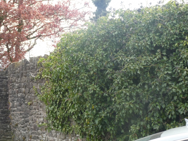
Fragments of medieval town walls built first in the C14 when Abergavenny had a complete circuit with four gates. This section is part of the run from Abergavenny Castle to the Tudor Street Gate (demolished after 1802) which gave access to the road leading down to Usk Bridge (qv Merthyr Road). It was partially demolished and rebuilt in the centuries following the Civil War in the mid C17 so that very little ancient fabric now remains. This section is the most extensive, best preserved and most visible of the remains of the town walls.
Built of red sandstone random rubble very little of which can be considered ancient. About 20m of wall approximately 3m high survives at this point, flat stone capping. There are indications of repairs, including brick, heightening and rebuilding.
The elevation in the Castle Street car-park is very low due to the difference in ground level inside the wall circuit.
Included for its special historic interest as a fragment of the medieval town walls of Abergavenny. This section is the most extensive, best preserved and most visible of the remains of the town walls.
External links are from the relevant listing authority and, where applicable, Wikidata. Wikidata IDs may be related buildings as well as this specific building. If you want to add or update a link, you will need to do so by editing the Wikidata entry.


Other nearby listed buildings
