Approximate Location Map
Large Map »
Latitude: 51.6555 / 51°39'19"N
Longitude: -4.9541 / 4°57'14"W
OS Eastings: 195759
OS Northings: 199318
OS Grid: SR957993
Mapcode National: GBR G7.YP66
Mapcode Global: VH1S6.2NV9
Plus Code: 9C3QM24W+59
Entry Name: Orielton Gardens
Listing Date: 29 September 1993
Last Amended: 29 September 1993
Grade: II
Source: Cadw
Source ID: 6579
Building Class: Domestic
ID on this website: 300006579
Location: Situated some 600m S of main gates to Orielton Field Centre from Clay Lane, outside NE corner of main walled garden.
County: Pembrokeshire
Community: Hundleton
Community: Hundleton
Traditional County: Pembrokeshire
Tagged with: Cottage
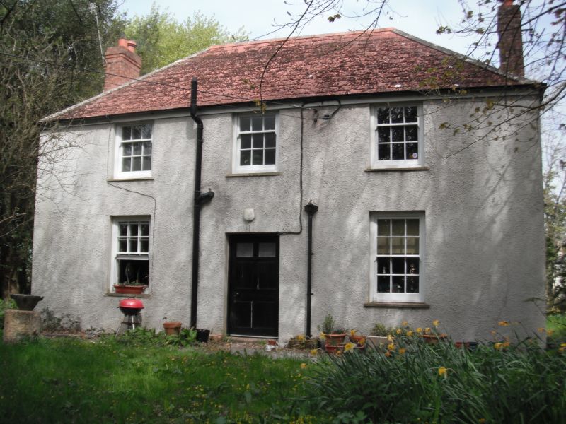
Early C19 Orielton estate house, roughcast with asbestos tile hipped roof and rebuilt brick end stacks. Two-storey three-window regular facade with 9-pane sashes under eaves, 12-pane sashes below and centre 6-panel door, two panels glazed. Stone window sills. NW rear wing and rear lean-to.
Group value with other listed items in grounds at Orielton Field Centre.
External links are from the relevant listing authority and, where applicable, Wikidata. Wikidata IDs may be related buildings as well as this specific building. If you want to add or update a link, you will need to do so by editing the Wikidata entry.


Other nearby listed buildings
