Approximate Location Map
Large Map »
Latitude: 51.7027 / 51°42'9"N
Longitude: -2.9006 / 2°54'2"W
OS Eastings: 337862
OS Northings: 200826
OS Grid: SO378008
Mapcode National: GBR J9.3YZK
Mapcode Global: VH79V.NGYK
Plus Code: 9C3VP33X+3Q
Entry Name: Medieval Tomb Effigy in St Mary's Churchyard
Listing Date: 30 April 2004
Last Amended: 30 April 2004
Grade: II
Source: Cadw
Source ID: 82766
ID on this website: 300082766
Location: To N side of main path through churchyard, about 25 metres from gates.
County: Monmouthshire
Town: Usk
Community: Usk (Brynbuga)
Community: Usk
Built-Up Area: Usk
Traditional County: Monmouthshire
Tagged with: Tomb
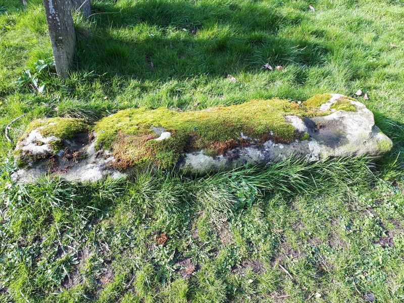
Late medieval tomb effigy, probably C14.
Weathered medieval tomb slab with worn effigy of figure in civilian dress.
Medieval tomb slab with group value with Priory Church of St Mary.
External links are from the relevant listing authority and, where applicable, Wikidata. Wikidata IDs may be related buildings as well as this specific building. If you want to add or update a link, you will need to do so by editing the Wikidata entry.


Other nearby listed buildings
