Approximate Location Map
Large Map »
Latitude: 51.0611 / 51°3'40"N
Longitude: -0.3299 / 0°19'47"W
OS Eastings: 517135
OS Northings: 130415
OS Grid: TQ171304
Mapcode National: GBR HJN.FF7
Mapcode Global: FRA B669.TKJ
Plus Code: 9C3X3M6C+F3
Entry Name: Former Stables to South of Manor House
Listing Date: 26 July 1974
Grade: II
Source: Historic England
Source ID: 1027548
English Heritage Legacy ID: 298134
ID on this website: 101027548
Location: Horsham, West Sussex, RH12
County: West Sussex
District: Horsham
Town: Horsham
Electoral Ward/Division: Denne
Parish: Non Civil Parish
Built-Up Area: Horsham
Traditional County: Sussex
Lieutenancy Area (Ceremonial County): West Sussex
Church of England Parish: Horsham St Mary the Virgin
Church of England Diocese: Chichester
Tagged with: Stable
THE CAUSEWAY
1.
1236
(West Side )
Former Stables to
south of Manor House
TQ 1730 1/18A
II GV
2.
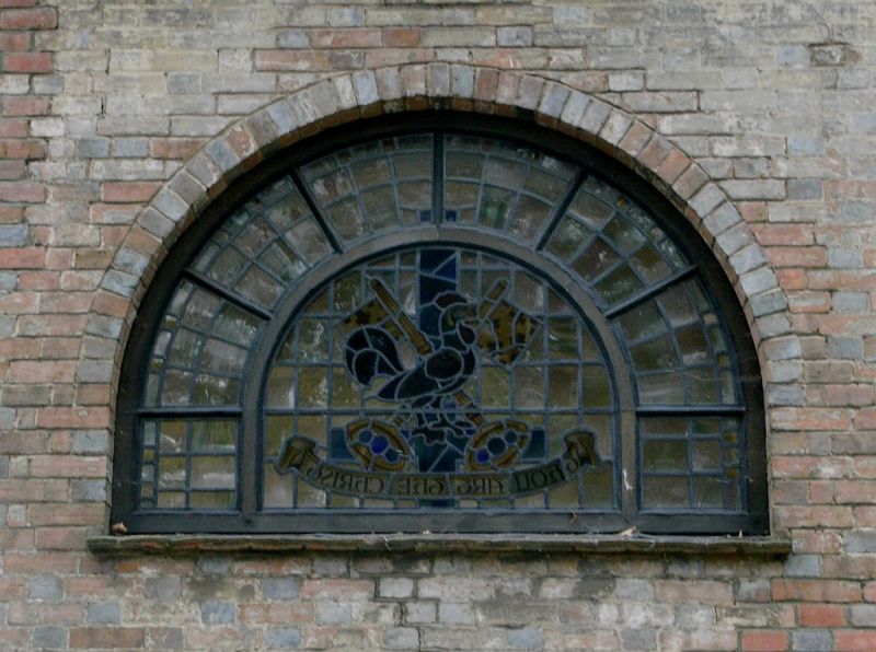
This stable building, adjoining No 31 The Causeway, has been converted into a chapel.
Red brick with some grey headers. Projecting centre portion with pediment over.
Most of the original windows have been blocked up and modern round-headed windows
inserted.
The Manor House, Stables to the south and Nos 24 to 31 (consec) form a group with
Nos 1 to 7 (odd) Blackhorse Way and with all the listed buildings in South Street.
All the listed buildings in The Causeway form a very important group with all the
listed buildings in Market Square and with South Street.
Listing NGR: TQ1713530415
External links are from the relevant listing authority and, where applicable, Wikidata. Wikidata IDs may be related buildings as well as this specific building. If you want to add or update a link, you will need to do so by editing the Wikidata entry.


Other nearby listed buildings
