Approximate Location Map
Large Map »
Latitude: 51.0686 / 51°4'6"N
Longitude: 0.6877 / 0°41'15"E
OS Eastings: 588404
OS Northings: 133350
OS Grid: TQ884333
Mapcode National: GBR QW3.STF
Mapcode Global: FRA D6B9.7RS
Plus Code: 9F323M9Q+C3
Entry Name: 28, High Street
Listing Date: 8 April 1970
Grade: II
Source: Historic England
Source ID: 1070344
English Heritage Legacy ID: 179749
ID on this website: 101070344
Location: Tenterden, Ashford, Kent, TN30
County: Kent
District: Ashford
Civil Parish: Tenterden
Built-Up Area: Tenterden
Traditional County: Kent
Lieutenancy Area (Ceremonial County): Kent
Tagged with: Building
1.
1715 HIGH STREET
(North Side)
No 28
TQ 8833 1/37 8.4.70.
II GV
2.
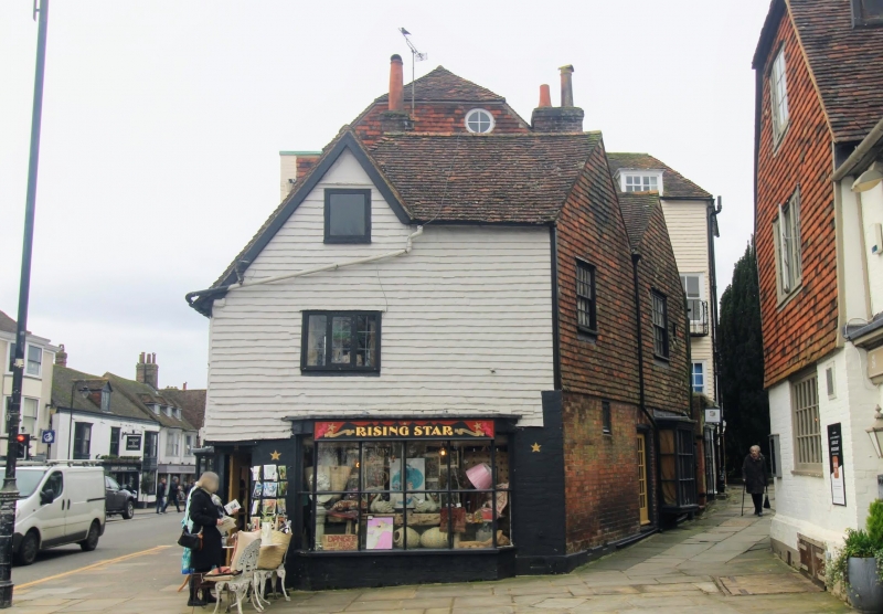
A small corner property, the shape of an irregular pentagon. C17. 2 storeys
and attics. Ground floor brick, above tile-hung. 2 gables on the north
front, one on the east. Modern shop window and bay windows on the ground
floor.
All the listed buildings on the north side from Nos 10 to 44, including
Church of St. Mildred, form a group.
Listing NGR: TQ8840433350
External links are from the relevant listing authority and, where applicable, Wikidata. Wikidata IDs may be related buildings as well as this specific building. If you want to add or update a link, you will need to do so by editing the Wikidata entry.


Other nearby listed buildings
