Latitude: 53.2579 / 53°15'28"N
Longitude: -2.5172 / 2°31'2"W
OS Eastings: 365591
OS Northings: 373556
OS Grid: SJ655735
Mapcode National: GBR BZVR.TV
Mapcode Global: WH99C.9CKS
Plus Code: 9C5V7F5M+54
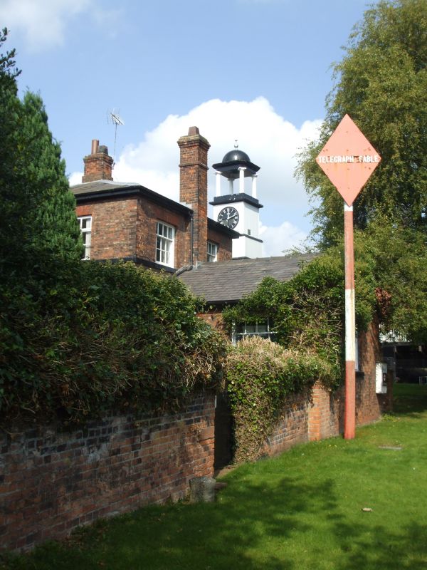
Entry Name: British Waterways Board Area Office
Listing Date: 19 August 1986
Grade: II
Source: Historic England
Source ID: 1139112
English Heritage Legacy ID: 57634
ID on this website: 101139112
Location: Northwich, Cheshire West and Chester, Cheshire, CW8
County: Cheshire West and Chester
Civil Parish: Northwich
Built-Up Area: Northwich
Traditional County: Cheshire
Lieutenancy Area (Ceremonial County): Cheshire
Church of England Parish: Northwich Holy Trinity
Church of England Diocese: Chester
Tagged with: Architectural structure
SJ 67 SE NORTHWICH C.P. NAVIGATION ROAD (East Side)
5/39 British Waterways Board Area Office
GV II
Weaver Navigation Office, now British Waterways, 1826. Brown brick with hipped graded grey slate roof. 2 storeys; 3 windows plus right wing of 2 windows. Plinth, first floor cill band and moulded cornice of stone. Oak 3-panel double doors in gauged brick round-arched recess with engaged Tuscan column to each side supporting wooden cornice beneath radial-bar fan with 3 concentric bars. Recessed 12-pane sashes under gauged brick heads. Blocked round-arched doorway in right wing. Lower storey extended at rear with 12-pane recessed sashes in main block above. Interior: Tuscan column to each side within entrance. Folding shutters in embrasures. Open-string dogleg stair has shaped brackets, stick balusters and curtail; 3 6-panel doors off landing, that opposite stair in panelled case with ornate moulded architraves.
Listing NGR: SJ6559173556
External links are from the relevant listing authority and, where applicable, Wikidata. Wikidata IDs may be related buildings as well as this specific building. If you want to add or update a link, you will need to do so by editing the Wikidata entry.


Other nearby listed buildings