Latitude: 51.9966 / 51°59'47"N
Longitude: -2.155 / 2°9'18"W
OS Eastings: 389451
OS Northings: 233144
OS Grid: SO894331
Mapcode National: GBR 1JK.V92
Mapcode Global: VH93T.L2KP
Plus Code: 9C3VXRWV+MX
Entry Name: 1, Stephens Alley
Listing Date: 27 July 1973
Last Amended: 25 April 1994
Grade: II
Source: Historic England
Source ID: 1201298
English Heritage Legacy ID: 376920
ID on this website: 101201298
Location: Tewkesbury, Gloucestershire, GL20
County: Gloucestershire
District: Tewkesbury
Civil Parish: Tewkesbury
Built-Up Area: Tewkesbury
Traditional County: Gloucestershire
Lieutenancy Area (Ceremonial County): Gloucestershire
Church of England Parish: Tewkesbury St Mary the Virgin (Tewkesbury Abbey)
Church of England Diocese: Gloucester
Tagged with: Building
TEWKESBURY
SO8932 STEPHENS ALLEY 859-1/6/339 (North side) 27/07/73 No.1 (Formerly Listed as: HIGH STREET No.1 Stephens Alley)
GV II
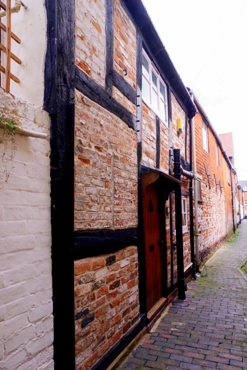
Detached cottage. C17. Box-framed with brick nogging, tile roof. One-unit central-entry plan. Small 2-storey gabled house with a 3-light casement above 2-light and a plank door facing the alley. West gable heavily overgrown, and the property empty and abandoned. INTERIOR not inspected. There were previously many other properties of this kind in Tewkesbury's alleys, helping to make up the densely peopled areas so well described in John Moore's 'Portrait of Elmbury' (1949); they are now becoming increasingly rare.
Listing NGR: SO8945133144
External links are from the relevant listing authority and, where applicable, Wikidata. Wikidata IDs may be related buildings as well as this specific building. If you want to add or update a link, you will need to do so by editing the Wikidata entry.


Other nearby listed buildings