Latitude: 52.9193 / 52°55'9"N
Longitude: -1.4104 / 1°24'37"W
OS Eastings: 439740
OS Northings: 335931
OS Grid: SK397359
Mapcode National: GBR 6DY.XYH
Mapcode Global: WHDGV.9WMB
Plus Code: 9C4WWH9Q+PR
Entry Name: Vicarage
Listing Date: 24 February 1977
Grade: II
Source: Historic England
Source ID: 1216022
English Heritage Legacy ID: 401330
ID on this website: 101216022
Location: Spondon, Derby, Derbyshire, DE21
County: City of Derby
Electoral Ward/Division: Spondon
Parish: Non Civil Parish
Built-Up Area: Derby
Traditional County: Derbyshire
Lieutenancy Area (Ceremonial County): Derbyshire
Church of England Parish: Spondon St Werburgh
Church of England Diocese: Derby
Tagged with: Clergy house
CHURCH STREET
l.
5170
Spondon
Vicarage
SK 33 NE 9/62
II
2.
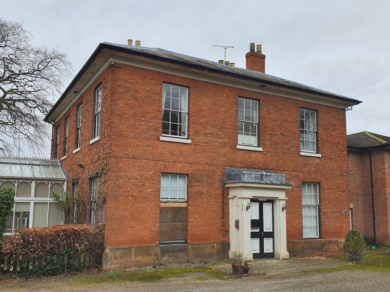
Late C18, with early C17 portion at rear which is of late C16 origin. Red brick;
2 storeys; 3 sash windows with flat brick arches; central doorway with later glazed
divided door, and plain stuccoed cornice hood porch; bold lined eaves; hipped slate
roof.
Listing NGR: SK3974035931
External links are from the relevant listing authority and, where applicable, Wikidata. Wikidata IDs may be related buildings as well as this specific building. If you want to add or update a link, you will need to do so by editing the Wikidata entry.


Other nearby listed buildings