Latitude: 51.8471 / 51°50'49"N
Longitude: -1.3577 / 1°21'27"W
OS Eastings: 444340
OS Northings: 216692
OS Grid: SP443166
Mapcode National: GBR 7WH.5KB
Mapcode Global: VHCX6.FT2X
Plus Code: 9C3WRJWR+RW
Entry Name: Wall Along North Side of Rectory Lane
Listing Date: 27 July 1988
Grade: II
Source: Historic England
Source ID: 1252871
English Heritage Legacy ID: 435579
ID on this website: 101252871
Location: Woodstock, West Oxfordshire, OX20
County: Oxfordshire
District: West Oxfordshire
Civil Parish: Woodstock
Built-Up Area: Woodstock
Traditional County: Oxfordshire
Lieutenancy Area (Ceremonial County): Oxfordshire
Church of England Parish: Woodstock
Church of England Diocese: Oxford
Tagged with: Wall
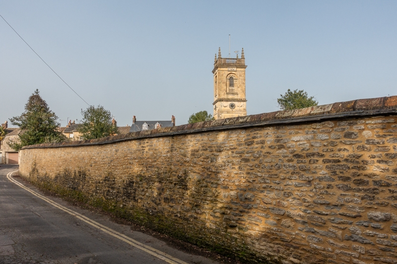
WOODSTOCK RECTORY LANE SP4416NW (North side) 9/231 Wall along N side of Rectory Lane GV II Wall. C18. Coursed limestone rubble with old tile coping, and stone coping to rear of No.9 Park Street (q.v.): approximately 80 metres long, and runs from outbuilding attached to rear of No.9 Park Street (q.v.) and to churchyard; runs approximately 50 metres along west side of churchyard. Included for group value.
Listing NGR: SP4434016692
External links are from the relevant listing authority and, where applicable, Wikidata. Wikidata IDs may be related buildings as well as this specific building. If you want to add or update a link, you will need to do so by editing the Wikidata entry.


Other nearby listed buildings