Latitude: 54.9249 / 54°55'29"N
Longitude: -1.3691 / 1°22'8"W
OS Eastings: 440530
OS Northings: 559096
OS Grid: NZ405590
Mapcode National: GBR VFL.MQ
Mapcode Global: WHD55.YG6V
Plus Code: 9C6WWJFJ+X9
Entry Name: Drinking Fountain Near North End of Roker Park Terrace
Listing Date: 17 October 1994
Grade: II
Source: Historic England
Source ID: 1279905
English Heritage Legacy ID: 391558
ID on this website: 101279905
Location: Roker Park, Roker, Sunderland, Tyne and Wear, SR6
County: Sunderland
Electoral Ward/Division: St Peter's
Parish: Non Civil Parish
Built-Up Area: Sunderland
Traditional County: Durham
Lieutenancy Area (Ceremonial County): Tyne and Wear
Church of England Parish: Monkwearmouth Team Ministry
Church of England Diocese: Durham
Tagged with: Drinking fountain
SUNDERLAND
NZ45NW ROKER PARK 920-1/5/180 (East side) Drinking fountain near north end of Roker Park Terrace
GV II
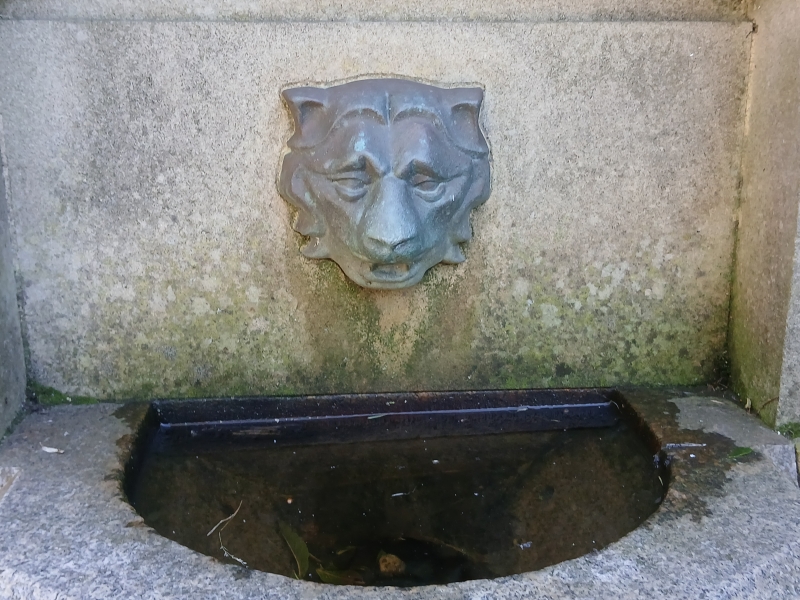
Memorial fountain. Dated 1880. Commemorates Sir Hedworth Williamson's gift of land for Roker Park to the people of Sunderland. Ashlar sandstone and granite. Tall square column on high base with Scotia moulding above swept plinth; 4 half-octagonal granite basins on round brackets are set between base and plinth. Column base has corner pilsters which support granite shafts; entablature breaks forward on these. Above, a corniced block with heraldic devices in low-relief panels; eagle finial. Inscriptions on column: N: `This memorial is further intended gratefully to keep in memory the fact that Sir Hedworth Williamson Bart.... gave 17 acres of land for the purpose of forming this public park and pleasure ground for the future use of the people of Sunderland.' S: `....erected by the scholars teachers and friends of Sunday Schools in Sunderland to commemorate the celebration of the centenary of Sunday Schools and the opening of Roker Park June 23 1880.' Names on E eroded.
Listing NGR: NZ4053059096
External links are from the relevant listing authority and, where applicable, Wikidata. Wikidata IDs may be related buildings as well as this specific building. If you want to add or update a link, you will need to do so by editing the Wikidata entry.


Other nearby listed buildings