Latitude: 52.3354 / 52°20'7"N
Longitude: -2.2838 / 2°17'1"W
OS Eastings: 380757
OS Northings: 270849
OS Grid: SO807708
Mapcode National: GBR 0BZ.KF1
Mapcode Global: VH920.CKHK
Plus Code: 9C4V8PP8+5F
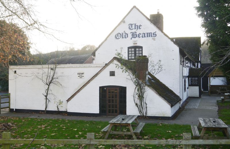
Entry Name: Old Beams Public House
Listing Date: 9 November 1971
Last Amended: 11 October 1991
Grade: II
Source: Historic England
Source ID: 1292366
English Heritage Legacy ID: 393320
ID on this website: 101292366
Location: Stourport-on-Severn, Wyre Forest, Worcestershire, DY13
County: Worcestershire
District: Wyre Forest
Civil Parish: Stourport-on-Severn
Built-Up Area: Stourport-on-Severn
Traditional County: Worcestershire
Lieutenancy Area (Ceremonial County): Worcestershire
Church of England Parish: Areley Kings
Church of England Diocese: Worcester
Tagged with: Pub
STOURPORT ON SEVERN
SO8070NE DUNLEY ROAD, Areley Kings 589-1/12/86 (South East side) 09/11/71 Old Beams Public House (Formerly Listed as: DUNLEY ROAD, Areley Kings (South East side) Walshe's Farm)
II
Public house, orignally farm house. Late C16 - early C17 with some later additions. Timber-framed, with renewed plain tiled roof. 2-storeyed main range and slightly projecting gabled cross wing. Framed in square panels with some arched bracing. Renewed axial brick stack, with angled decoration, marks the end of the original building. Baffle entrance in C19 fretted timber porch. Small casement windows contained within panels of framing. Extended by one bay to north in early C18, with timber posts and rail but largely brick. Further more recent extensions beyond.
Listing NGR: SO8075770849
External links are from the relevant listing authority and, where applicable, Wikidata. Wikidata IDs may be related buildings as well as this specific building. If you want to add or update a link, you will need to do so by editing the Wikidata entry.


Other nearby listed buildings