Latitude: 51.5251 / 51°31'30"N
Longitude: -0.1063 / 0°6'22"W
OS Eastings: 531467
OS Northings: 182389
OS Grid: TQ314823
Mapcode National: GBR N7.8G
Mapcode Global: VHGQT.3XNQ
Plus Code: 9C3XGVGV+2F
Entry Name: Boundary Wall, Kingsway College Clerkenwell Close
Listing Date: 30 September 1994
Grade: II
Source: Historic England
Source ID: 1292903
English Heritage Legacy ID: 369331
ID on this website: 101292903
Location: Clerkenwell, Islington, London, EC1R
County: London
District: Islington
Electoral Ward/Division: Clerkenwell
Parish: Non Civil Parish
Built-Up Area: Islington
Traditional County: Middlesex
Lieutenancy Area (Ceremonial County): Greater London
Church of England Parish: St James Clerkenwell
Church of England Diocese: London
Tagged with: Wall
ISLINGTON
TQ3182SW SANS WALK 635-1/73/748 (North side) Boundary wall, Kingsway College Clerkenwell Centre
GV II
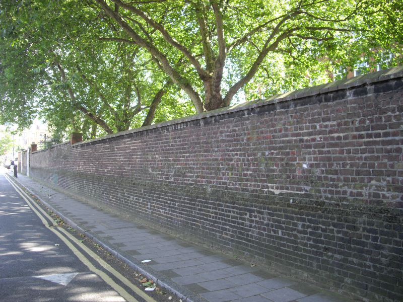
Wall. Incorporates considerable stretches of the boundary wall of the former Middlesex House of Detention, 1847, repaired and altered, especially in 1893 and 1902 as part of the boundary wall to the former Hugh Myddelton Schools, and dated on the inner faces of the entrances themselves. The wall extends along the whole of the site in Skinner Street and in Clerkenwell Close, and from the School Keeper's House (q.v.) to the eastern end of the outbuilding of c.1892 (q.v.) in Sans Walk. Brown and yellow brick, mostly laid in English bond; tiled coping, and occasional brick piers capped with stone, and buttresses to the inner sides; entrances for 'Special Girls' and 'Girls and Infants' in Skinner Street, and for 'Girls and Infants' and 'Cookery & Laundry' in Clerkenwell Close; all with stone architraves and wrought-iron gates.
Listing NGR: TQ3146582387
External links are from the relevant listing authority and, where applicable, Wikidata. Wikidata IDs may be related buildings as well as this specific building. If you want to add or update a link, you will need to do so by editing the Wikidata entry.


Other nearby listed buildings