Approximate Location Map
Large Map »
Latitude: 51.0666 / 51°3'59"N
Longitude: 0.6809 / 0°40'51"E
OS Eastings: 587937
OS Northings: 133111
OS Grid: TQ879331
Mapcode National: GBR QW8.4YY
Mapcode Global: FRA D699.K2R
Plus Code: 9F323M8J+J9
Entry Name: 10, West Cross
Listing Date: 8 June 1972
Grade: II
Source: Historic England
Source ID: 1362814
English Heritage Legacy ID: 179844
ID on this website: 101362814
Location: Tenterden, Ashford, Kent, TN30
County: Kent
District: Ashford
Civil Parish: Tenterden
Built-Up Area: Tenterden
Traditional County: Kent
Lieutenancy Area (Ceremonial County): Kent
Tagged with: Building
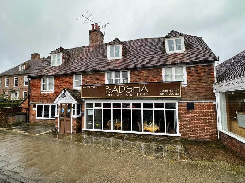
1.
1715 WEST CROSS
(North Side)
No 10
TQ 8733 SE 2/63
II
2.
C18. 2 storeys and attic. Ground floor red brick, above tile-hung. Half-hipped
tiled roof with 3 dormers. 4 modern windows and porch.
Listing NGR: TQ8793633113
External links are from the relevant listing authority and, where applicable, Wikidata. Wikidata IDs may be related buildings as well as this specific building. If you want to add or update a link, you will need to do so by editing the Wikidata entry.


Other nearby listed buildings
