Latitude: 51.4682 / 51°28'5"N
Longitude: -0.0852 / 0°5'6"W
OS Eastings: 533098
OS Northings: 176097
OS Grid: TQ330760
Mapcode National: GBR TW.0V
Mapcode Global: VHGR6.GCTB
Plus Code: 9C3XFW97+7W
Entry Name: Numbers 144-156 and Attached Railings
Listing Date: 17 September 1998
Grade: II
Source: Historic England
Source ID: 1378419
English Heritage Legacy ID: 470720
ID on this website: 101378419
Location: Southwark, London, SE5
County: London
District: Southwark
Electoral Ward/Division: South Camberwell
Parish: Non Civil Parish
Built-Up Area: Southwark
Traditional County: Surrey
Lieutenancy Area (Ceremonial County): Greater London
Church of England Parish: Camberwell St Giles with St Matthew
Church of England Diocese: Southwark
Tagged with: Building
SOUTHWARK
TQ3376 CAMBERWELL GROVE 636-1/11/147 (West side) Nos.144-156 (Even) and attached railings
GV II
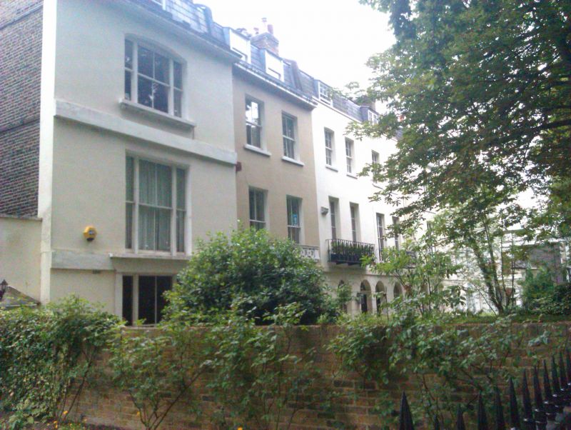
7 terraced houses. Early to mid C19. Stucco-faced, with some roofs of slate (4 left-hand units), the other 2 gathered together under a broad pediment. 11 windows to the group. 2 storeys and attic and dormers. Round-arched openings on the ground floor, the entrance to that on the right under a Tuscan prostyle porch. Upper-floor openings are flat-arched; 4 left-most units with 1st-floor French doors to metal balconies, the pair to the left with cast-iron balconies of an original design. Identified on the right-hand units as part of a terrace once called 'Belvue House'. INTERIOR: not inspected. SUBSIDIARY FEATURES: cast-iron area railings. Included for group value with Nos 158-166 (even) (qqv).
Listing NGR: TQ3309876097
External links are from the relevant listing authority and, where applicable, Wikidata. Wikidata IDs may be related buildings as well as this specific building. If you want to add or update a link, you will need to do so by editing the Wikidata entry.


Other nearby listed buildings