Approximate Location Map
Large Map »
Latitude: 51.3833 / 51°23'0"N
Longitude: -2.3683 / 2°22'5"W
OS Eastings: 374466
OS Northings: 164985
OS Grid: ST744649
Mapcode National: GBR 0QH.829
Mapcode Global: VH96L.WHVD
Plus Code: 9C3V9JMJ+8M
Entry Name: 11, Monmouth Place
Listing Date: 5 August 1975
Last Amended: 15 October 2010
Grade: II
Source: Historic England
Source ID: 1396046
English Heritage Legacy ID: 511463
ID on this website: 101396046
Location: Kingsmead, Bath and North East Somerset, Somerset, BA1
County: Bath and North East Somerset
Parish: Non Civil Parish
Built-Up Area: Bath
Traditional County: Somerset
Lieutenancy Area (Ceremonial County): Somerset
Church of England Parish: Bath St Michael Without
Church of England Diocese: Bath and Wells
Tagged with: Building
MONMOUTH PLACE
(South side)
No.11 (Formerly
Listed as: UPPER
BRISTOL ROAD Nos
11 and 12
(Monmouth Place))
05/08/75
GV II
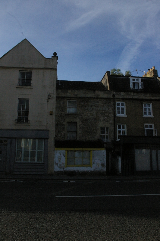
Terraced house, now takeaway restaurant (one of pair, No.12 (qv)). Late C18, altered early C19, but possibly some earlier fabric and C20 additions.
MATERIALS: Rubble, double Roman tile roof.
EXTERIOR: Three storeys, two windows, to left plain sash in flush surround at first and second floor, to right smaller six/six sash at first floor. Immediately above this remains of former window surround, the flush jamb and head. Ground floor small workshop or mid C19 shop brought forward to pavement with ashlar front and three-pane display window with slender mullions and flat arched heads, under large C20 full width fascia with raised centre, shop has side entrance. To right, in plane of main wall, early four-panel door with stone hood and cheeks. Ashlar boundary wall approx 1.5m high runs forward on party line between two houses. Thin cornice to ashlar blocking course and parapet, with stack to left.
INTERIOR: Not inspected.
HISTORY: This, with the adjoining house, looks earlier than most of the adjoining properties and may form part of the beginnings of development along the Bristol Road.
Listing NGR: ST7446664985
External links are from the relevant listing authority and, where applicable, Wikidata. Wikidata IDs may be related buildings as well as this specific building. If you want to add or update a link, you will need to do so by editing the Wikidata entry.


Other nearby listed buildings
