Approximate Location Map
Large Map »
Latitude: 55.8076 / 55°48'27"N
Longitude: -2.4914 / 2°29'29"W
OS Eastings: 369297
OS Northings: 657253
OS Grid: NT692572
Mapcode National: GBR C118.DZ
Mapcode Global: WH8WZ.P9T5
Plus Code: 9C7VRG55+2C
Entry Name: Longformacus Bridge
Listing Name: Longformacus Bridge
Listing Date: 19 August 1998
Category: C
Source: Historic Scotland
Source ID: 343266
Historic Scotland Designation Reference: LB10778
Building Class: Cultural
ID on this website: 200343266
Location: Longformacus
County: Scottish Borders
Electoral Ward: Mid Berwickshire
Parish: Longformacus
Traditional County: Berwickshire
Tagged with: Road bridge
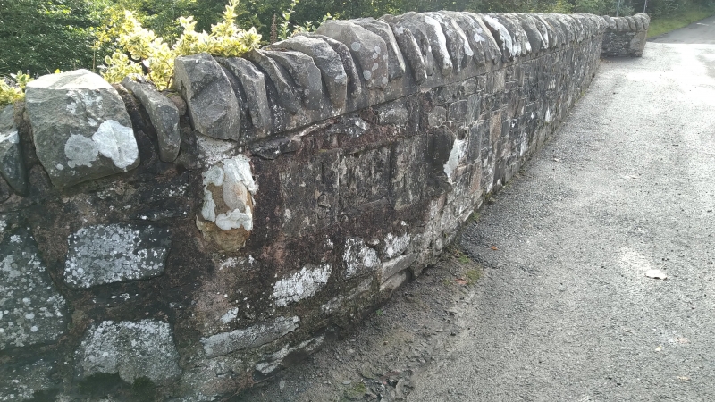
Earlier 19th century with later repairs. Single-arched, slightly humped bridge spanning Dye Water. Rubble-coped, recently re pointed rubble walls (rebuilt in part); rubble voussoirs to segmental arches. Much-weathered square sandstone plaque (dated 1820?) with coat of arms centred in outer face of E wall; much-eroded rectangular panel dated 1851 set to N of inner face with decorative motif at centre, much-weathered carved figureheads to outer left and right. Irregularly splayed parapet walls at either end.
An impressive stone bridge at the centre of Longformacus village, forming the main link between N and S. The plaque on the outer face is said to be dated 1820. Old postcards show a well with a tiered cap, segmental-arched niche and scrolled angle buttresses set to the N of the inner face of the E wall. Also shown is a drinking trough inset in the wall to its left. Although neither the well or trough remain (it is said they were destroyed during World War II), the well's decorative panel, dated 1851 and flanked by carved figureheads, has since been set into the E wall of the bridge.
External links are from the relevant listing authority and, where applicable, Wikidata. Wikidata IDs may be related buildings as well as this specific building. If you want to add or update a link, you will need to do so by editing the Wikidata entry.


Other nearby listed buildings
