Latitude: 51.8745 / 51°52'28"N
Longitude: -3.233 / 3°13'58"W
OS Eastings: 315210
OS Northings: 220261
OS Grid: SO152202
Mapcode National: GBR YW.S4PB
Mapcode Global: VH6CF.X45W
Plus Code: 9C3RVQF8+QQ
Entry Name: Llangynidr Bridge (partly in Llanfihangel Cwmdu with Bwlch and Cathedine community)
Listing Date: 4 January 1952
Grade: I
Source: Cadw
Source ID: 6694
Building Class: Transport
ID on this website: 300006694
Location: Impressively-sited spanning the River Usk on the B4560 in Lower Llangynidr.
County: Powys
Community: Llangynidr
Community: Llangynidr
Locality: Coed yr Ynys
Built-Up Area: Llangynidr
Traditional County: Brecknockshire
Erected c1700 and replacing an earlier bridge 500m upstream. A bridge of similar style and date is nearby at Crickhowell .
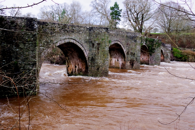
High single-carriageway road bridge of rubble stone with 6 segmental arches, curved into the current and ramped towards the centre. V-shaped cutwaters rise to full height of the parapet and define refuges. The parapet has plain copings and on S side is curved outwards at the ends above corbelled stone.
Listed Grade I as an especially fine example of an early road bridge, together with Crickhowell amongst the best in Wales.


Other nearby listed buildings