Approximate Location Map
Large Map »
Latitude: 51.4414 / 51°26'29"N
Longitude: -0.0879 / 0°5'16"W
OS Eastings: 532986
OS Northings: 173112
OS Grid: TQ329731
Mapcode National: GBR HL.SLY
Mapcode Global: VHGRD.F1CC
Plus Code: 9C3XCWR6+HR
Entry Name: Elm Lawn
Listing Date: 30 June 1954
Grade: II
Source: Historic England
Source ID: 1385468
English Heritage Legacy ID: 470866
ID on this website: 101385468
Location: West Dulwich, Southwark, London, SE21
County: London
District: Southwark
Electoral Ward/Division: Village
Parish: Non Civil Parish
Built-Up Area: Southwark
Traditional County: Surrey
Lieutenancy Area (Ceremonial County): Greater London
Church of England Parish: Dulwich St Barnabas
Church of England Diocese: Southwark
Tagged with: Architectural structure
SOUTHWARK
TQ3273 DULWICH COMMON
636-1/15/284 (North side)
30/06/54 Elm Lawn
II
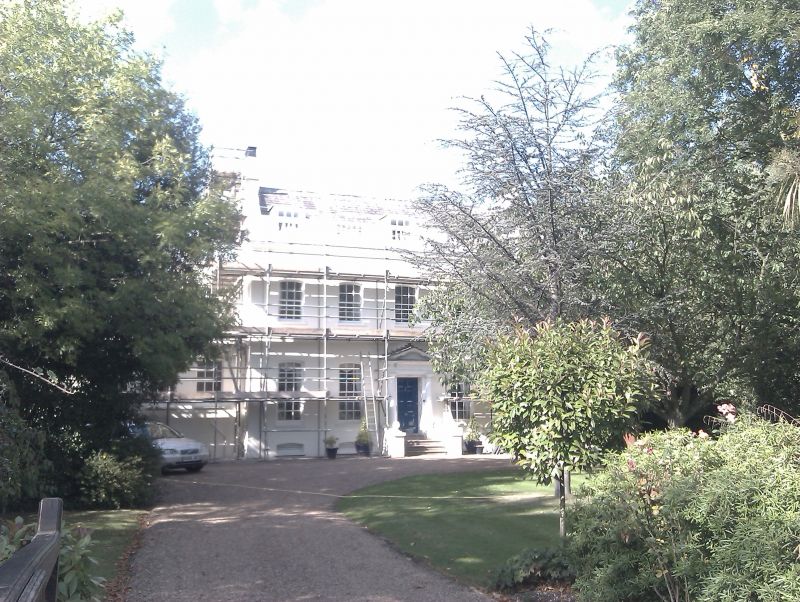
House. Mid C18. Red brick with stuccoed front; slate roof with
3 dormers behind balustraded parapet.
2 storeys, attic and basement, 5 bays with later,
single-storey, 3-bay extension to left. Central timber
doorcase with Doric columns, triglyph frieze and mutule
pediment. Segmental-headed sash windows with glazing bars in
plain reveals.
INTERIOR: not inspected.
Listing NGR: TQ3298673112
External links are from the relevant listing authority and, where applicable, Wikidata. Wikidata IDs may be related buildings as well as this specific building. If you want to add or update a link, you will need to do so by editing the Wikidata entry.


Other nearby listed buildings
