Approximate Location Map
Large Map »
Latitude: 52.0189 / 52°1'7"N
Longitude: -4.8792 / 4°52'44"W
OS Eastings: 202538
OS Northings: 239521
OS Grid: SN025395
Mapcode National: GBR CP.GY68
Mapcode Global: VH1QH.CJY5
Plus Code: 9C4Q249C+H8
Entry Name: Limekiln on Aberfforest Beach
Listing Date: 14 April 1992
Last Amended: 14 April 1992
Grade: II
Source: Cadw
Source ID: 12524
Building Class: Industrial
ID on this website: 300012524
Location: Situated by beach some 150m N of Fforest farm, which is approached by long track running N off A487 Fishguard road near boundary with Dinas community.
County: Pembrokeshire
Community: Newport (Trefdraeth)
Community: Newport
Locality: Aberfforest
Traditional County: Pembrokeshire
Tagged with: Lime kiln
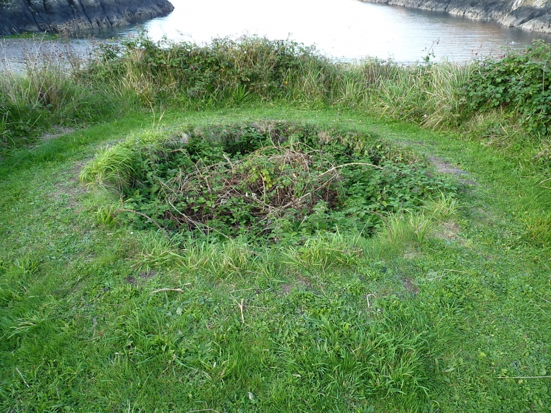
Probably early C19.
Circular rubble stone lime kiln built into bank with stone faced ramp up from east side. Infilled crucible, triangular headed kiln-eye each side.
External links are from the relevant listing authority and, where applicable, Wikidata. Wikidata IDs may be related buildings as well as this specific building. If you want to add or update a link, you will need to do so by editing the Wikidata entry.


Other nearby listed buildings
