Latitude: 51.4009 / 51°24'3"N
Longitude: -3.5543 / 3°33'15"W
OS Eastings: 291976
OS Northings: 168024
OS Grid: SS919680
Mapcode National: GBR HF.QW52
Mapcode Global: VH5J4.B1VW
Plus Code: 9C3RCC2W+97
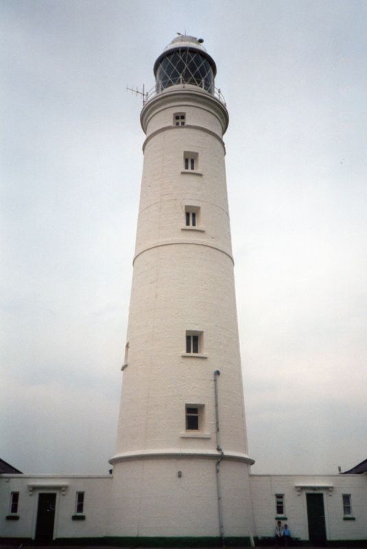
Entry Name: Fog Station at Nash Point Lighthouse
Listing Date: 29 March 1996
Last Amended: 19 January 2005
Grade: II
Source: Cadw
Source ID: 18027
Building Class: Maritime
ID on this website: 300018027
Location: In open ground between the Lower (West), and the Upper (East) Lighthouses at Nash Point, within their walled compound.
County: Vale of Glamorgan
Town: Cowbridge / Y Bont-Faen
Community: St. Donats (Sain Dunwyd)
Community: St. Donats
Locality: Nash Point
Traditional County: Glamorgan
Tagged with: Architectural structure
The fog signal station was probably built in the latter part of the C19, to standard Trinity House designs. It was de-commissioned in 2001.
Lined-out render, probably over stone, with flat roof. Single storeyed, with doorway in centre of north elevation, with flanking 2-light transomed window. Wide doorway to engine room to its left. Three window return elevation to west; doorway with narrow side lights and two windows in east elevation. All windows have slightly cambered heads and projecting cills. Unmoulded cornice and blocking course. Two fog horns mounted on the roof, projecting from a metal drum and pointing south-west and south-east.
Interior contains office and engine room, both plain. The engine room is fitted with diesel generators and electrical equipment for working the fog horns.
Included for its special interest as a part of an ambitiously planned lighthouse complex, and a good example of a purpose-designed fog signal station of the later C19.
External links are from the relevant listing authority and, where applicable, Wikidata. Wikidata IDs may be related buildings as well as this specific building. If you want to add or update a link, you will need to do so by editing the Wikidata entry.


Other nearby listed buildings